Note: This article pertaining to Spectacular Views of Peyto Glacier and Peyto Lake was originally published on Saturday, July 1, 2017 at 2:22 in the morning and has been updated for today, Tuesday, July 1, 2025 for Canada Day. Happy birthday number 158, Canada!
Visiting Banff National Park in Alberta without driving on Icefields Parkway is like swimming without water — and Bow Summit is amongst the highlights of places to visit along Icefields Parkway because of its views of Peyto Glacier and Peyto Lake.
Spectacular Views of Peyto Glacier and Peyto Lake in Canada
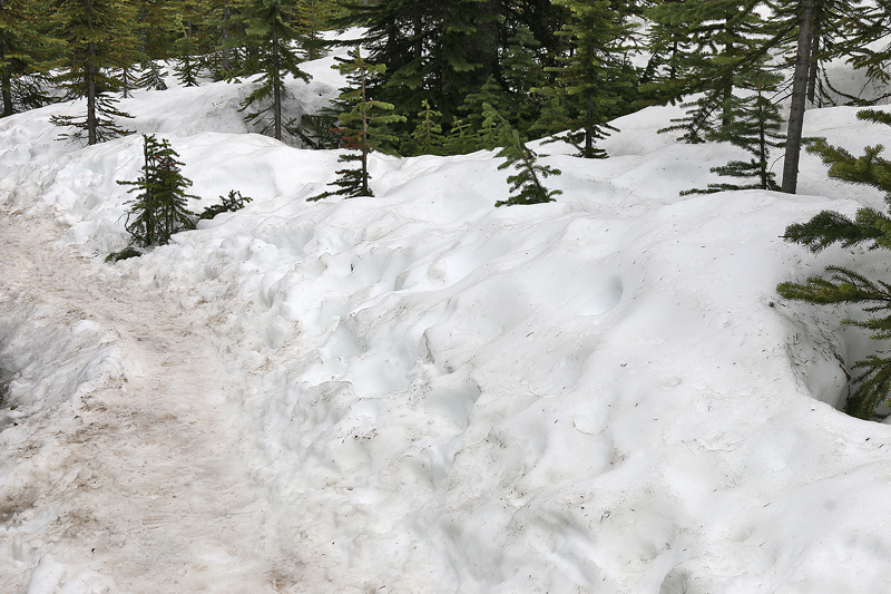
Snow covers the ground — and, to a lesser extent, the trail itself — for greater than nine months out of the year at Bow Summit…
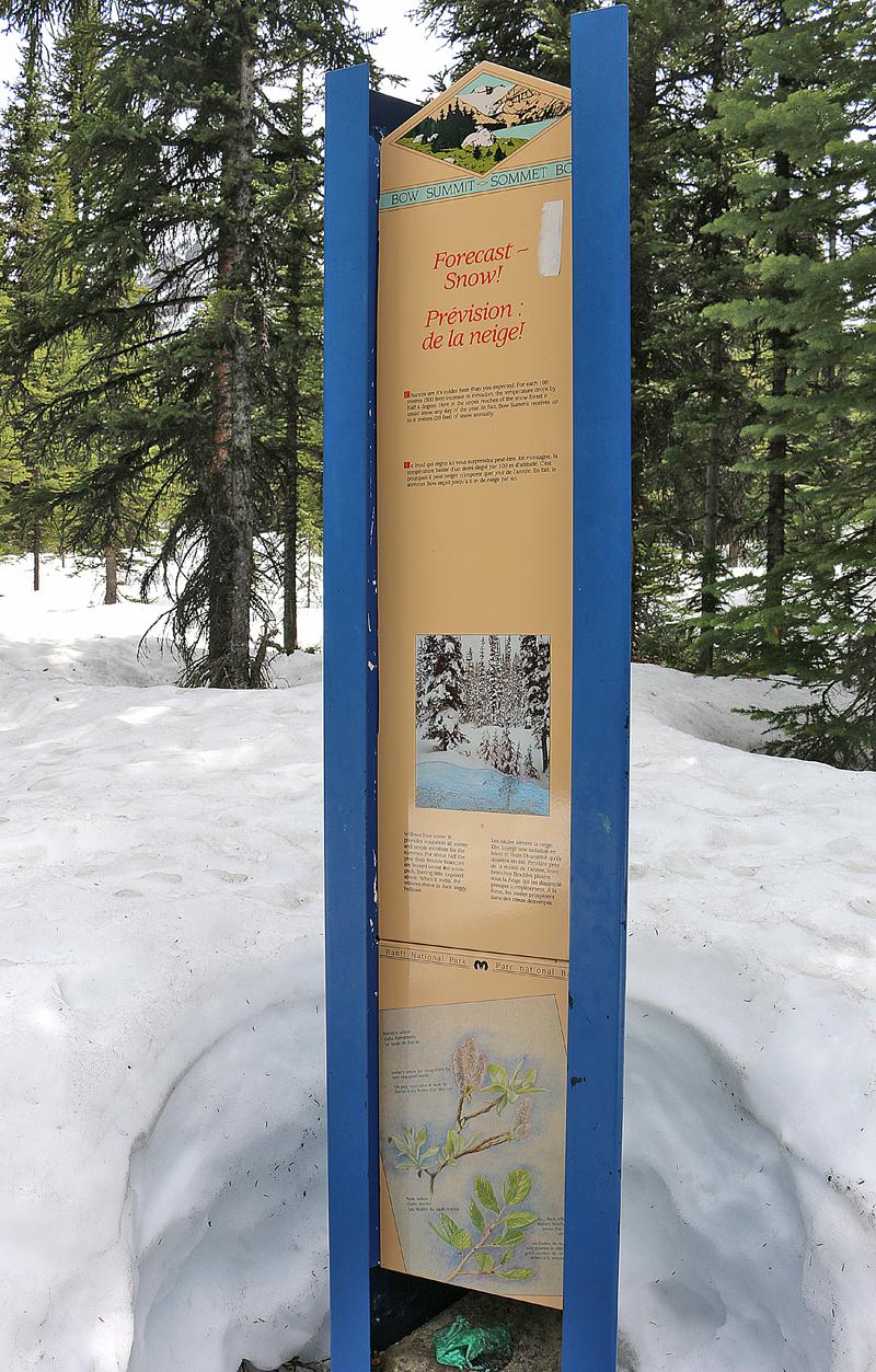
…and the day of my visit was no exception, as the snow was at least two feet deep in some spots — despite the ambient temperature being warm enough to wear no coat or jacket.
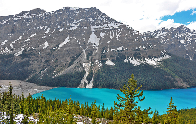
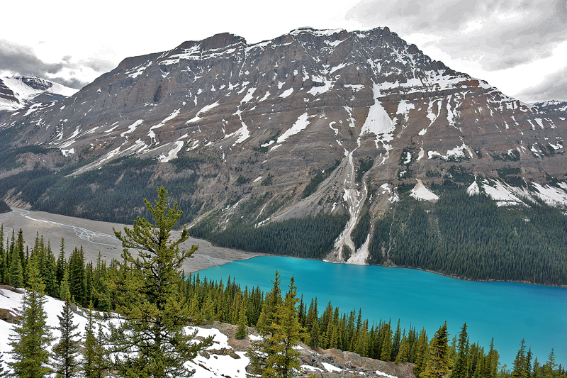
After a short hike of 15 minutes on an asphalt path — give at least another ten minutes if it is covered with ice and snow — with a mild grade from the parking area, this is the view from the lookout platform near Bow Summit which awaits all visitors.
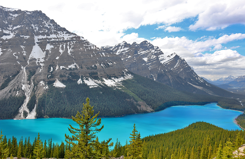
Bow Summit overlooks Peyto Lake.
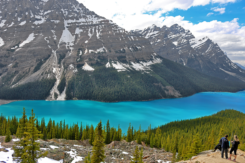
The elevation at Bow Summit is 6,969 feet — which is the highest point on Icefields Parkway.
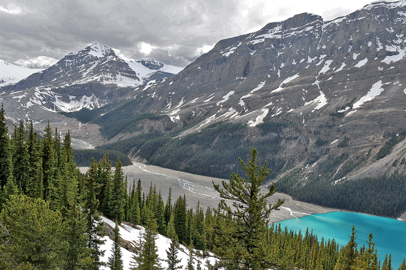
At one time, the entire valley area was covered with glacial ice, which has receded approximately two kilometers over the past one hundred years.
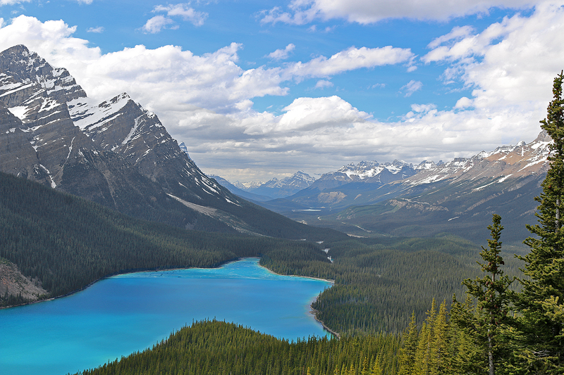
Bow Summit is the watershed divide between the Bow River and the Mistaya River.
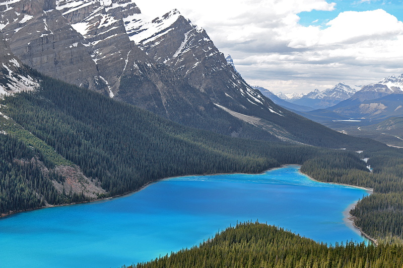
This view faces north northwest towards the Mistaya River, with which Icefields Parkway runs parallel.
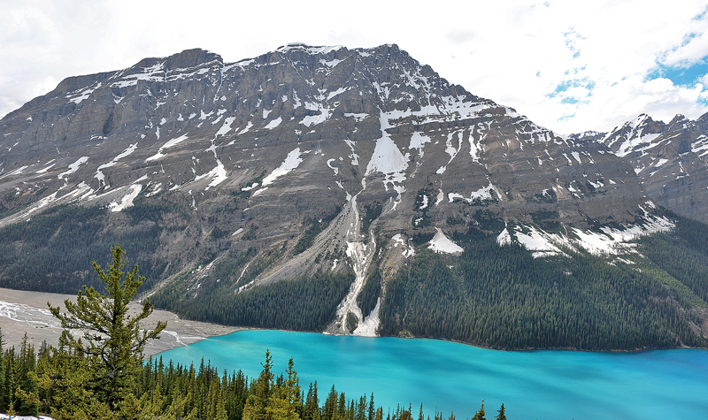
The namesake for the lake and the glacier was Ebenezer William “Bill” Peyto, who was a pioneer, mountain guide, and early park warden of Banff National Park. Originally a native of Scotland near Banff — from which Banff National Park gets its name — Peyto emigrated to Canada.
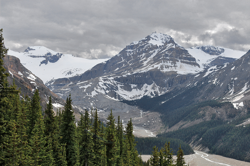
Peyto Glacier is now merely a “tongue” of the larger Wapta Icefield.

Taking a steep trail down to the generally inaccessible Peyto Lake is possible; but be forewarned that the lake is too cold in which to swim — and the trail itself takes at least an hour round trip. Most visitors do not opt to take this trail.

Melted water running off of Peyto Glacier becomes Peyto Creek, which feeds into Peyto Lake…
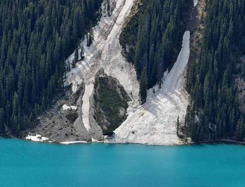
…as does water from melting ice and snow trickling down the surrounding mountains.
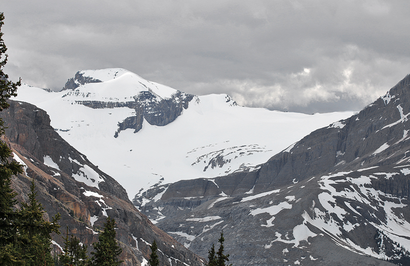
Peyto Glacier is located on the Continental Divide, where water either flows west to the Pacific Ocean or east to the Atlantic Ocean.
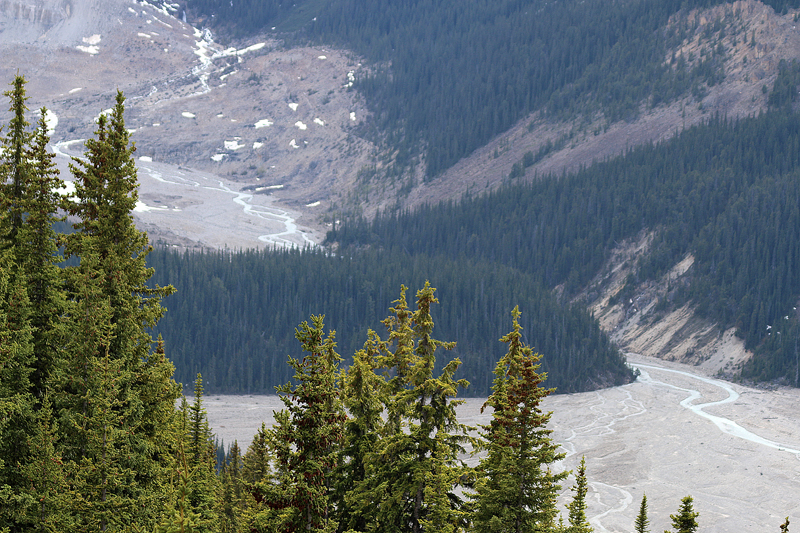
Timberline Trail — which I did not take past lookout platform, as it was not crowded when I visited — is towards the right out of the photograph if you want to hike through the woods to Bow Summit. If you decide to take this hike, give yourself a couple of hours each way along some rocky terrain along the edge of the land above the trees. You can also hike a few hundred feet along this trail to a clearing with a view of Peyto Lake if the lookout platform does get too crowded.
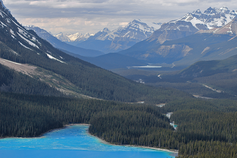
The weather vacillated between overcast and partly sunny — and like other areas of the Rocky Mountains in Canada, the weather can change quickly at Peyto Lake.
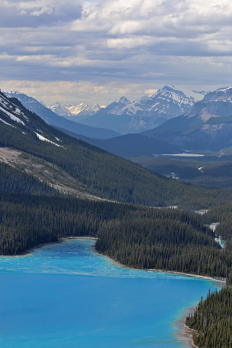
At an elevation of 1,880 meters, Peyto Lake is 2.8 kilometers in length; and its area is approximately 5.3 square kilometers.
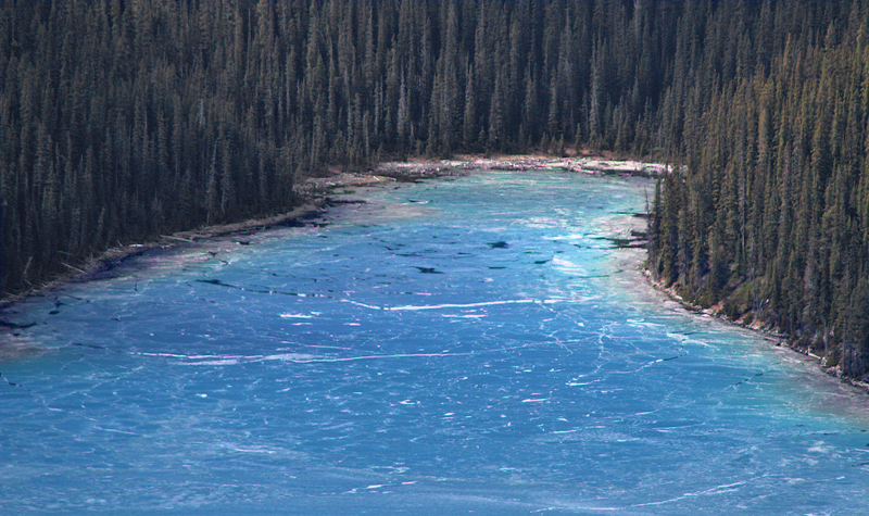
Ice is still present in parts of Peyto Lake.

Significant amounts of suspended rock particles in the water from the glacier — known as rock flour — flow into the lake during the summer, which gives the water in the lake the appearance of being a bright turquoise color.
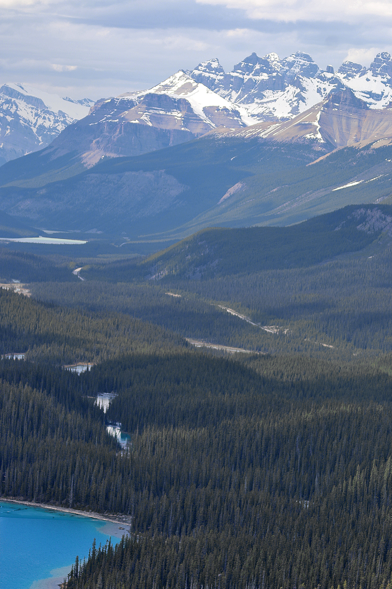
Mistaya River is on the left; and Icefields Parkway is on the right — both as they trail off into the distance north northwest of Peyto Lake.
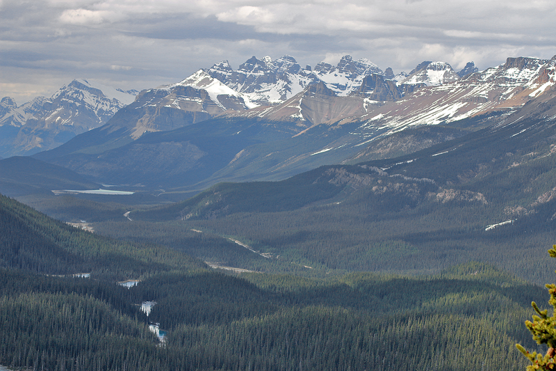
Enjoy breathtaking views of the Waputik Range off in the distance from the lookout platform at Peyto Lake.
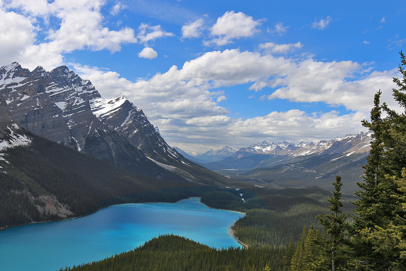
Mount Patterson is located on the left past the end of Peyto Lake.
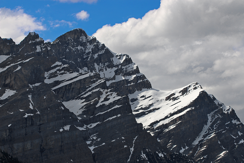
The peak of Mount Patterson is part of the Waputik Range of mountains in which Peyto Lake is located.
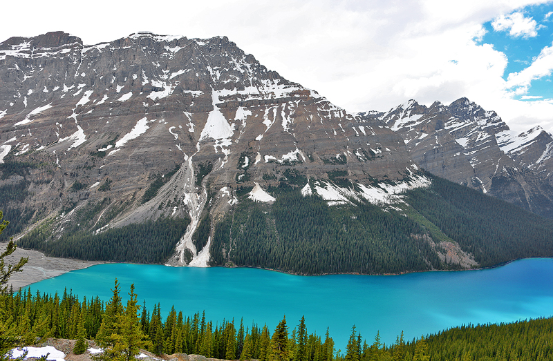
Caldron Peak cradles much of the west bank of Peyto Lake.

Peyto Peak — which is located only approximately one kilometer east of the border between the provinces of Alberta and British Columbia — is the mountain on the left towards the background.
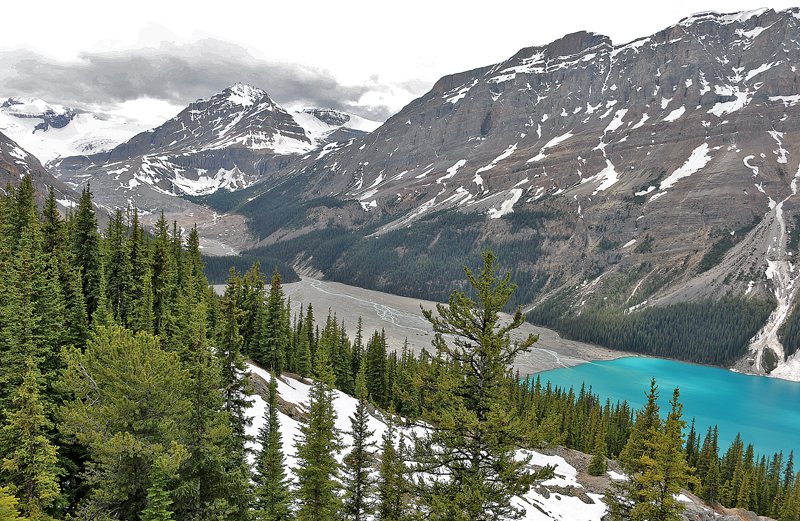
Bow Summit receives up to 20 feet of snow annually, as snow can fall here any day of the year.
Final Boarding Call
Do not miss Peyto Lake and Peyto Glacier on your visit to Banff National Park — but take snacks and water with you just in case you want to hike — or simply stay for a while, as you can stay as long as you like.
Mostly anyone can negotiate the paved asphalt trail to the lookout platform which overlooks Peyto Lake — assuming that there is no ice and snow covering the path — but be aware that the trail ascends on a mild grade. Other than what are referred to as “dry toilets”, there are no facilities available on site.
Peyto Lake is located just off the west — or southbound — side of Icefields Parkway approximately 45 kilometers northwest of Lake Louise.
Other than admission into Banff National Park — which has been suspended for the summer of 2025 — there is no admission fee to visit; and you can stay as long as you like.
Peyto Lake
Improvement District Number 9
Banff National Park
Alberta
Canada
All photographs ©2017 by Brian Cohen.
