Note: This article pertaining to Across the Bridge Between Continental Plates in Iceland was originally published on Sunday, July 8, 2018 at 8:39 in the evening and has been updated.
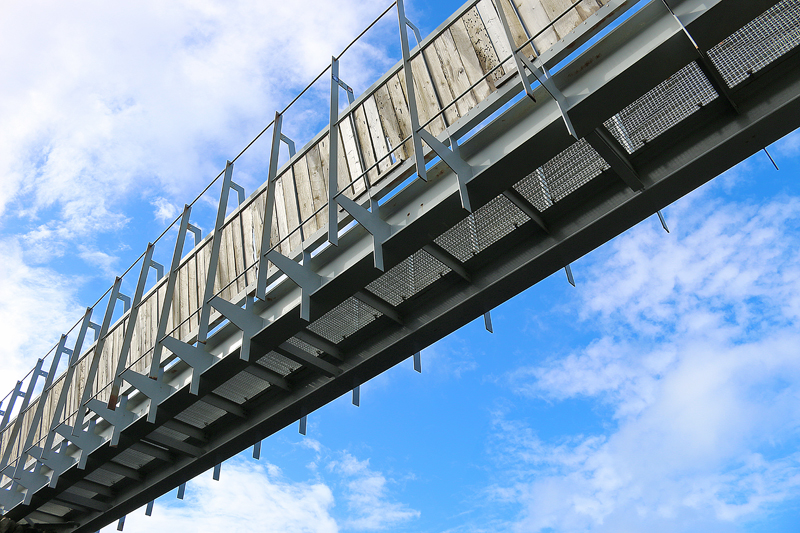
Although I decided to drive around Iceland clockwise from Keflavik International Airport over a period of eleven days, the first thing I did after picking up the rental car was to drive approximately 20 minutes south to Miðlína, at which there is a literal bridge between the North American and Eurasian continental plates.
Across the Bridge Between Continental Plates in Iceland
The sky vacillated between partly cloudy and mostly cloudy; and the weather was just cool enough to wear a light jacket — but I was more comfortable wearing a T-shirt, as the air was significantly warmer than I expected. The light breeze occasionally reminded me that the air was not as warm as I thought, though.
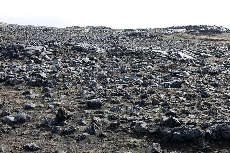
Civilization tended to disappear quickly while driving along the Reykjanes peninsula on Highway 44, which eventually becomes Highway 425 at Hafnir. The lava-scarred landscape appears to resemble the surface of the Moon, with seemingly no buildings or people anywhere.
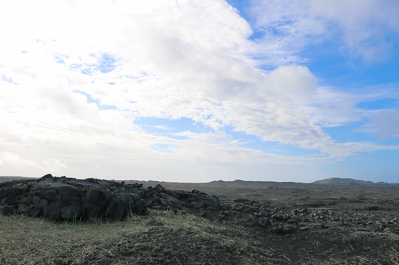
I eventually arrived at Miðlína; and no one else was there. I parked the car and started walking down the paved pathway to the bridge.
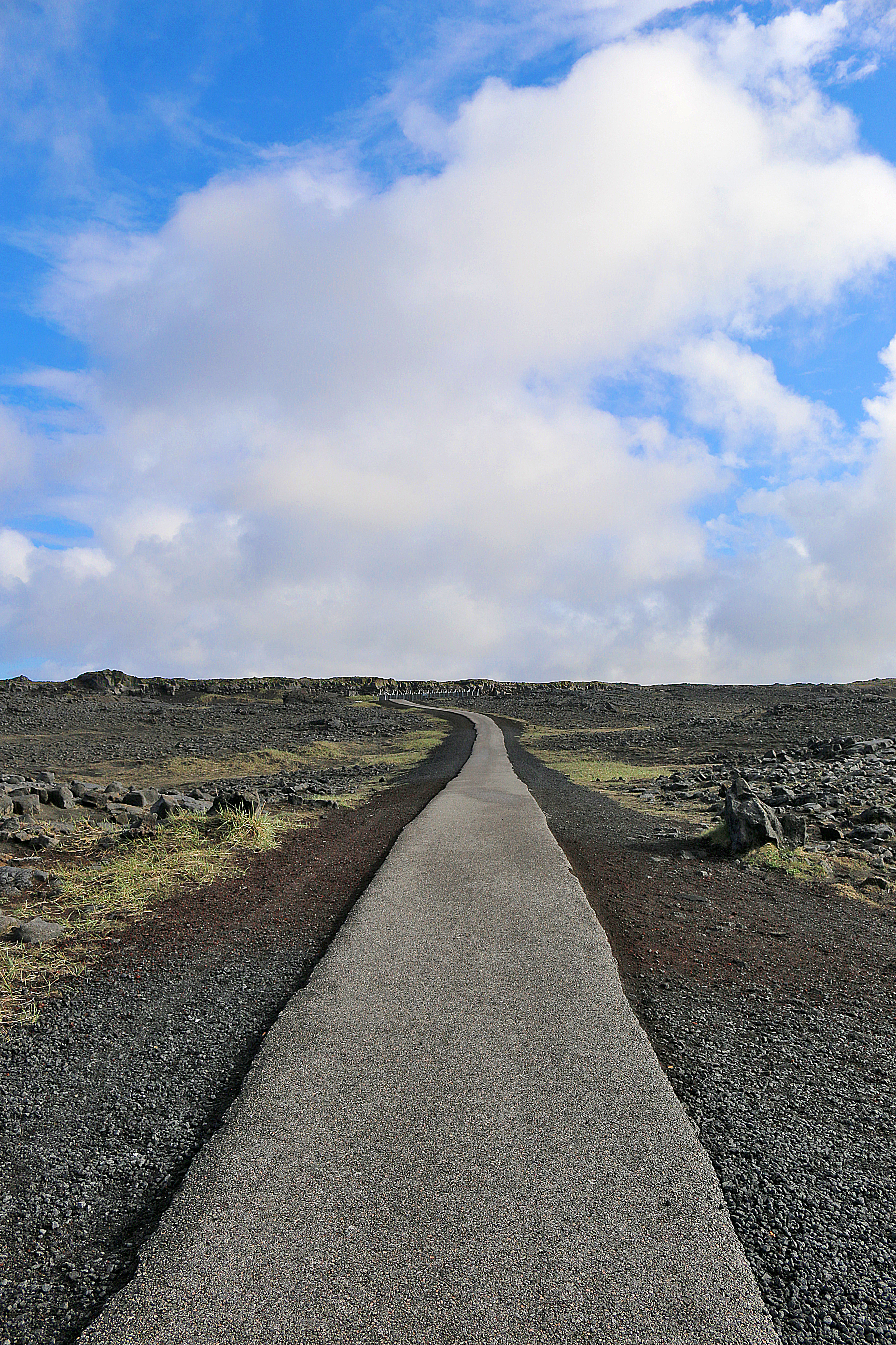
I could see the bridge off in the distance, which seemed like it was placed eerily in the middle of nowhere — but it is actually located on the Mid Atlantic Ridge, which is one of the major plate boundaries in the world.
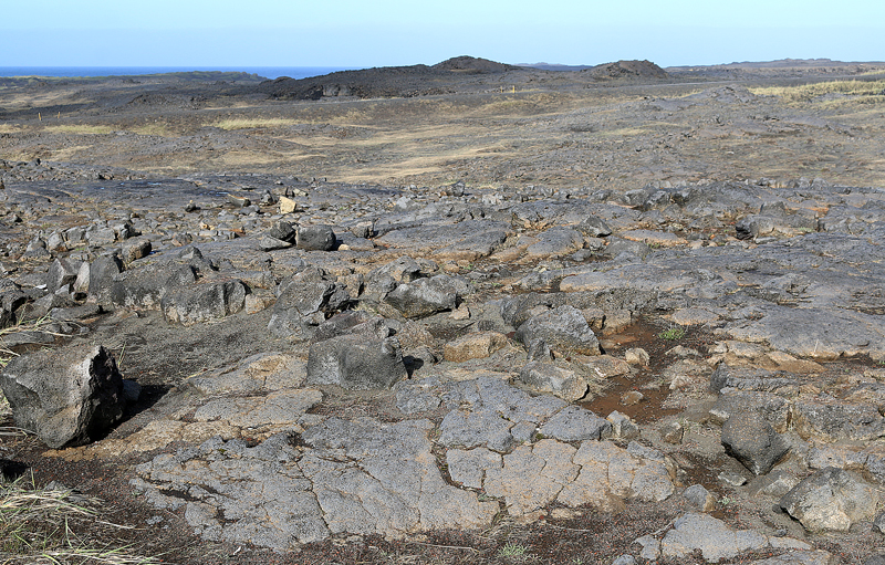
The way the landscape kept changing amazed me — and this was only the walk from the car to the bridge.
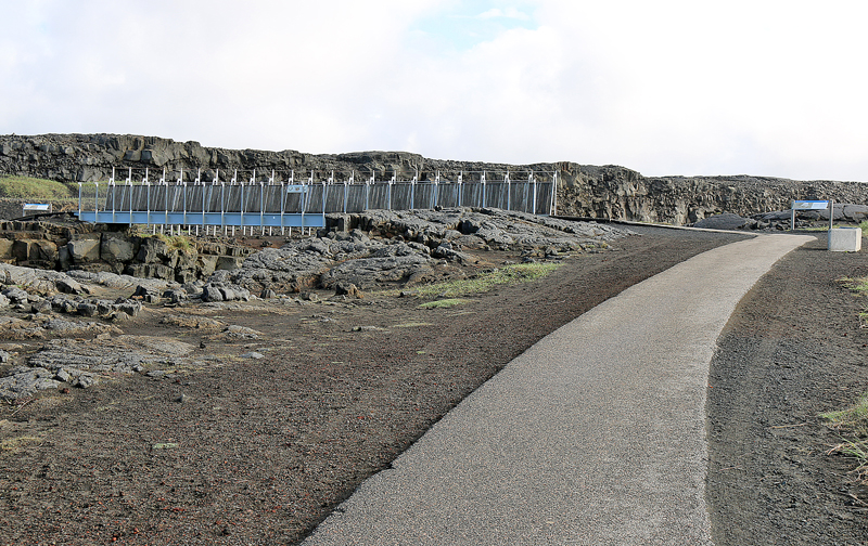
Information signs flanked the bridge at each end.
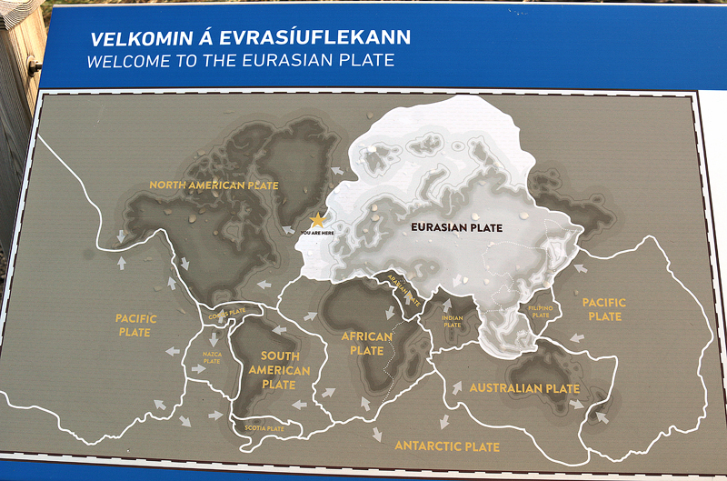
The first information sign welcomes visitors to the Eurasian plate prior to crossing the bridge.
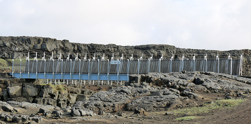
One has to wonder about the future of this bridge over the long term — especially if the theory is proven to be true that the Eurasian and North American tectonic plates are continuously drifting apart at the rate of a few centimeters each year, with great forces under the gaping rifts.

As the plates diverge, linear fractures known as fissures form due to stresses created by the tension that builds up as the plates move away from each other.
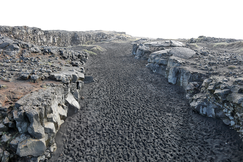
When walking across the bridge, look to the right to see the separation of the Eurasian plate on the right side and the North American plate on the left side…
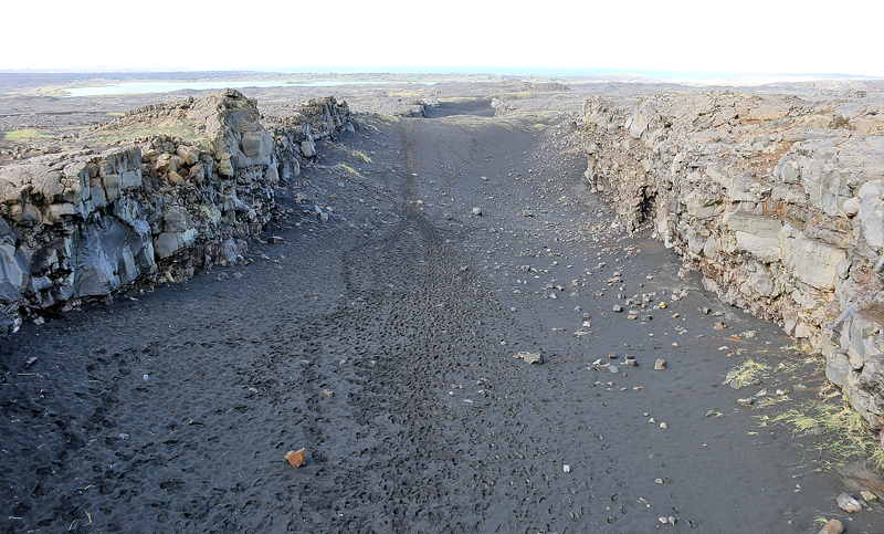
…and look to the left while on the bridge to see the separation of the Eurasian plate on the left side and the North American plate on the right side.
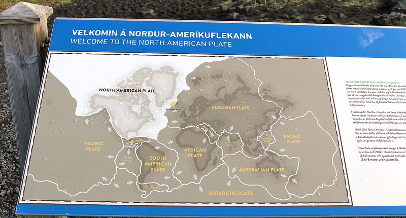
The information sign at the other end of the bridge welcomes visitors to the North American plate.
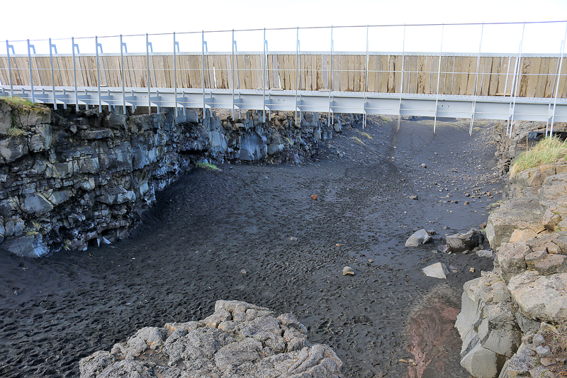
One can also walk along the major fissure between the two continental plates — which provides clear evidence of the presence of a diverging plate margin…
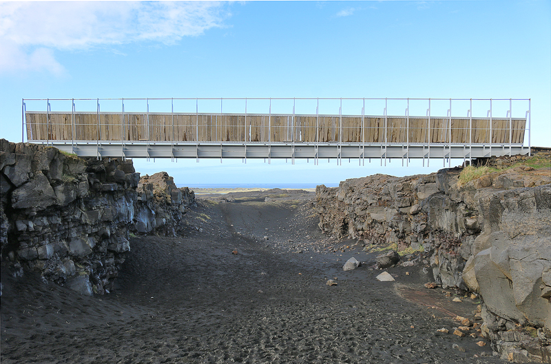
…and even walk under the bridge.
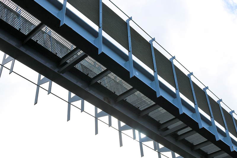
Named after Leif Ericson — who was from Iceland and is the first known European to have discovered continental North America — the bridge between the two continents at Sandvík was built as a symbol for the connection between Europe and North America.
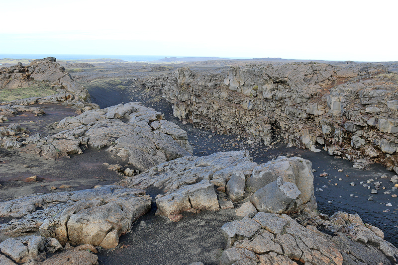
On the walk back to the car, I realized just how vast is this area — especially when no one else is around…
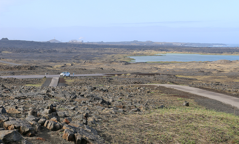
…can you find the rental car in the above photograph?
Final Boarding Call
I returned to Miðlína on a significantly colder and windier day interspersed with precipitation in November of 2024.
Here is a little trivia for you: the section of the Belt Parkway in Brooklyn between Fort Hamilton Parkway and Knapp Street was named Leif Ericson Drive back in 1969. The explorer from Iceland was born in the year 960.
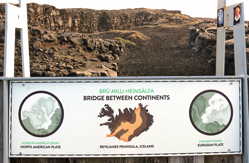
If you want to visit the bridge between the two continental plates — which is known in Icelandic as Brú Milli Heimsálfa — know that there are no facilities and no admission fee to enter.
Mentioning that the bridge between the two continental plates is open 24 hours per day may initially seem ridiculous; but if you are visiting sometime in the middle of the night during the months flanking the summer solstice, the sun will be out — albeit low on the horizon — which means potentially interesting lighting for your photographs and even less of a chance of other visitors joining you.
All photographs ©2018 by Brian Cohen.
