Easter Island is best known for the unique ancient Moai statues which grace the entire island; but the remote place — which is also known as Rapa Nui in Polynesian and Isla de Pascua in Spanish — has other not-so-secret surprises in store for visitors.
Easter Island is Not Only Statues: Ana Te Pora Lava Tunnel
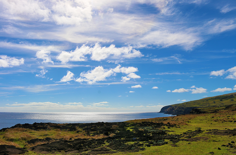
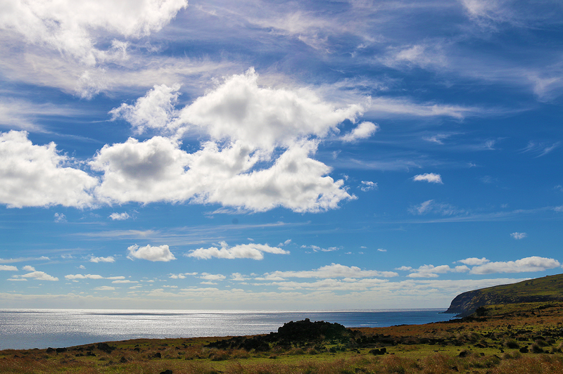
One of those surprises is the picturesque scenery of a cliff along the northwest coast of Easter Island, where the deep blue color of the Pacific Ocean is in harmony with the wispy and puffy clouds which dance across the azure sky — as well as the browns and greens of the gently rolling landscape…
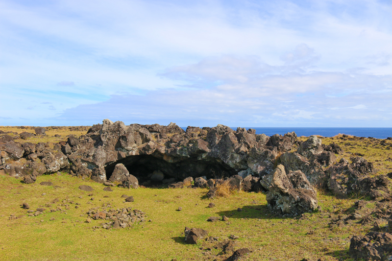
…and within that vicinity is another surprise known as Ana te Pora, which means the cave of the reed canoe and is a long lava tube that is characterized by a roomy arch with a very smooth surface. It was both used as a shelter and adapted as a place for ceremonial use in ancient times.
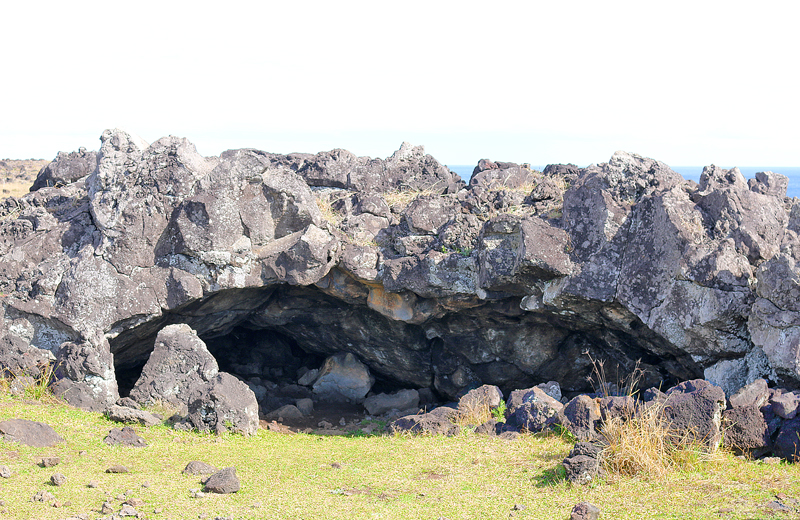
Note that as is common in many caves, the original entrance was modified and reinforced with large stones — both rough and carved — resulting in a safer place in which to venture inside.
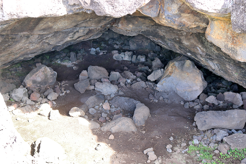
Despite the modifications and reinforcements, the caves may still be unstable, as they could collapse at any moment. There is no guarantee of your safety.
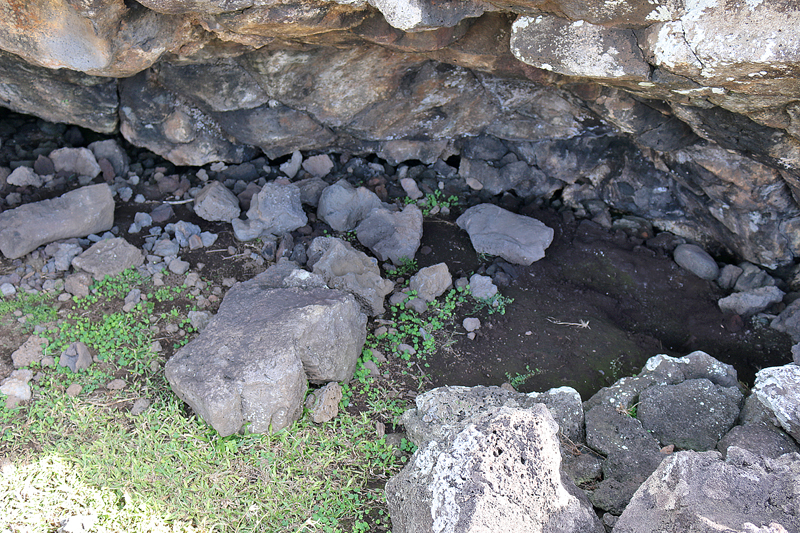
These types of caves — which are known as ana kionga, which generally means refuge cave — were used as shelters or hideouts in times of war; and many legends indeed refer to the use of these caves as hideouts during times of war.
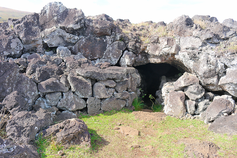
Ana Te Pora has several entrances and exits which forms part of a greater system of caves of the sector which is known as Roiho, whose largest cave is Ana Te Pahu — and my experience in Ana Te Pahu will be covered in a future article.
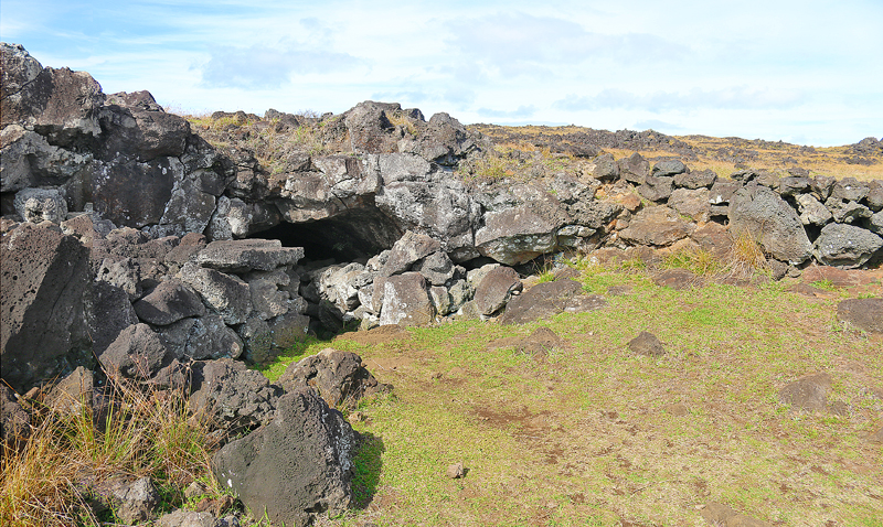
The small entrance which is located to the left of the small esplanade is thought to have been protected and reinforced with large stones which formed a narrow passageway in order to increase the difficulty of accessing the interior of the medium-sized cave — thus improving its security.
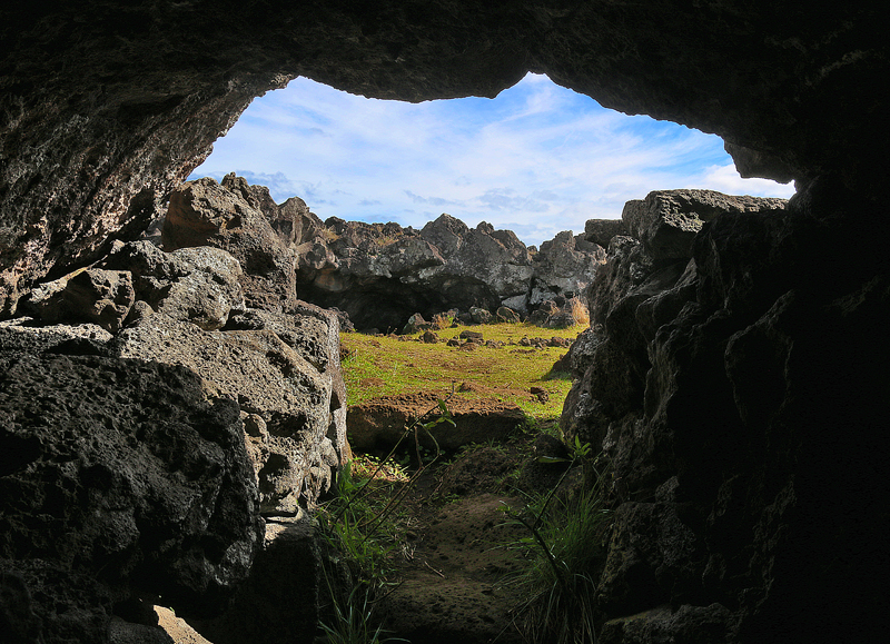
The place where the cave is located resembles a small square which is surrounded by volcanic rocks. To the right there is a karava — or stone ledge — which may have served as a refuge; but it does not lead to the interior of the cave.
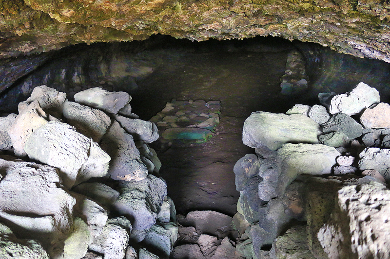
Beyond the entrance to Ana Te Pora is a large room with smooth rounded walls which roughly form the shape of a vault. It is believed that this cave was used to hide from the enemy during times in which clashes between different clans was frequent.
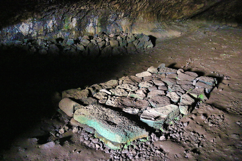
Once inside the large room — which is not exactly cavernous — and only a few steps from the entrance, visitors are greeted by a stone structure which resembles a bed or a grave. Its actual distinction is still not definitively known to this day.
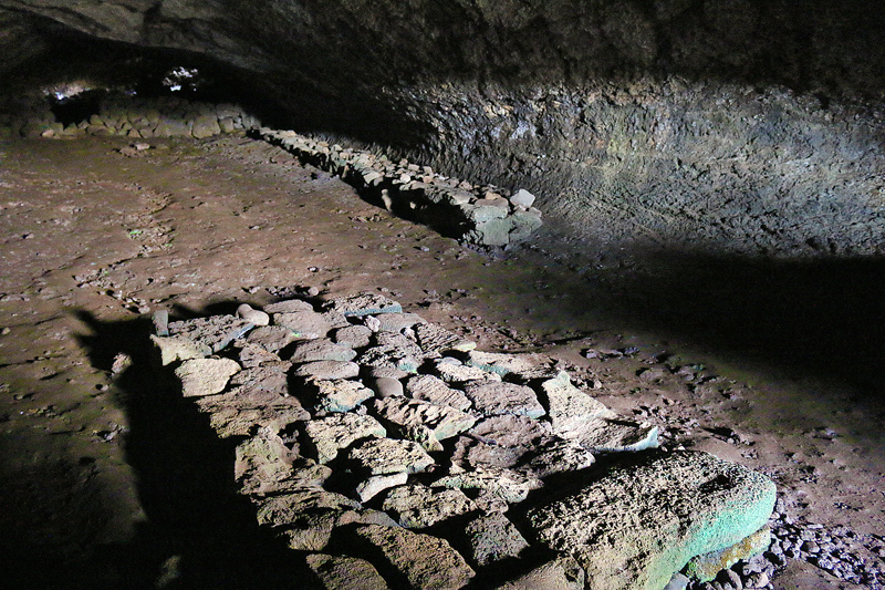
Even though the rectangular formation — which was constructed with stones — resembles a bed or a mattress, it is not thought to have been used for that purpose or functionality, as the ancient Rapanui people typically slept directly on the ground on a bed of mats or grass and used a smooth stone as a pillow; and they covered themselves with a layer of vegetable tissue known as mahute if the temperature was cool.
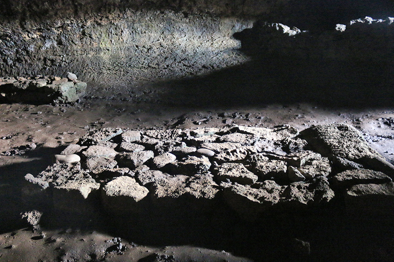
As no other structures were found similar to this one in any other cave on Easter Island, then it may have been used for some other purpose other than a bed — not that the texture of this hard stone structure exactly seems conducive enough for a comfortable sleep for the night.
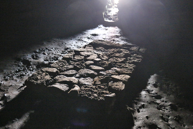
Perhaps this stone structure was used as a ceremonial altar, as it is bathed in sunshine during the day via the entrance to the cave.
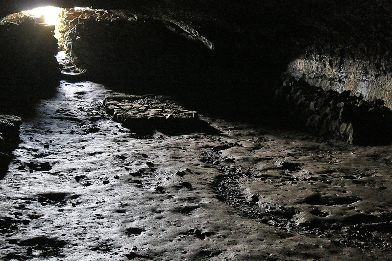
Maybe it was constructed for use as a grave for for burial purposes, as bony remains have been discovered here.

Venturing inside further beyond the stony structure which looks like a bed is a small wall of stones which appears at the other end of the room; and the cave narrows further and becomes almost completely dark. Crouching down to advance further beyond this section is required as the ceiling becomes lower — and I did bump my head accidentally against the hard ceiling while exploring the lava tube…
…and you will need a flashlight or the light of your portable electronic device to help guide yourself through the dark lava tube — until you see light coming in from outside at the other end of the cave, as the tunnel leads to one of the exits of Ana Te Pora.
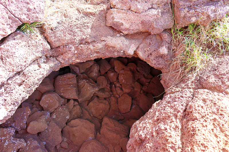
Numerous inhabitants have used the caves of Easter Island as last dwellings, which may be the reason as to why they have always had a sacred character linked to the spirits.
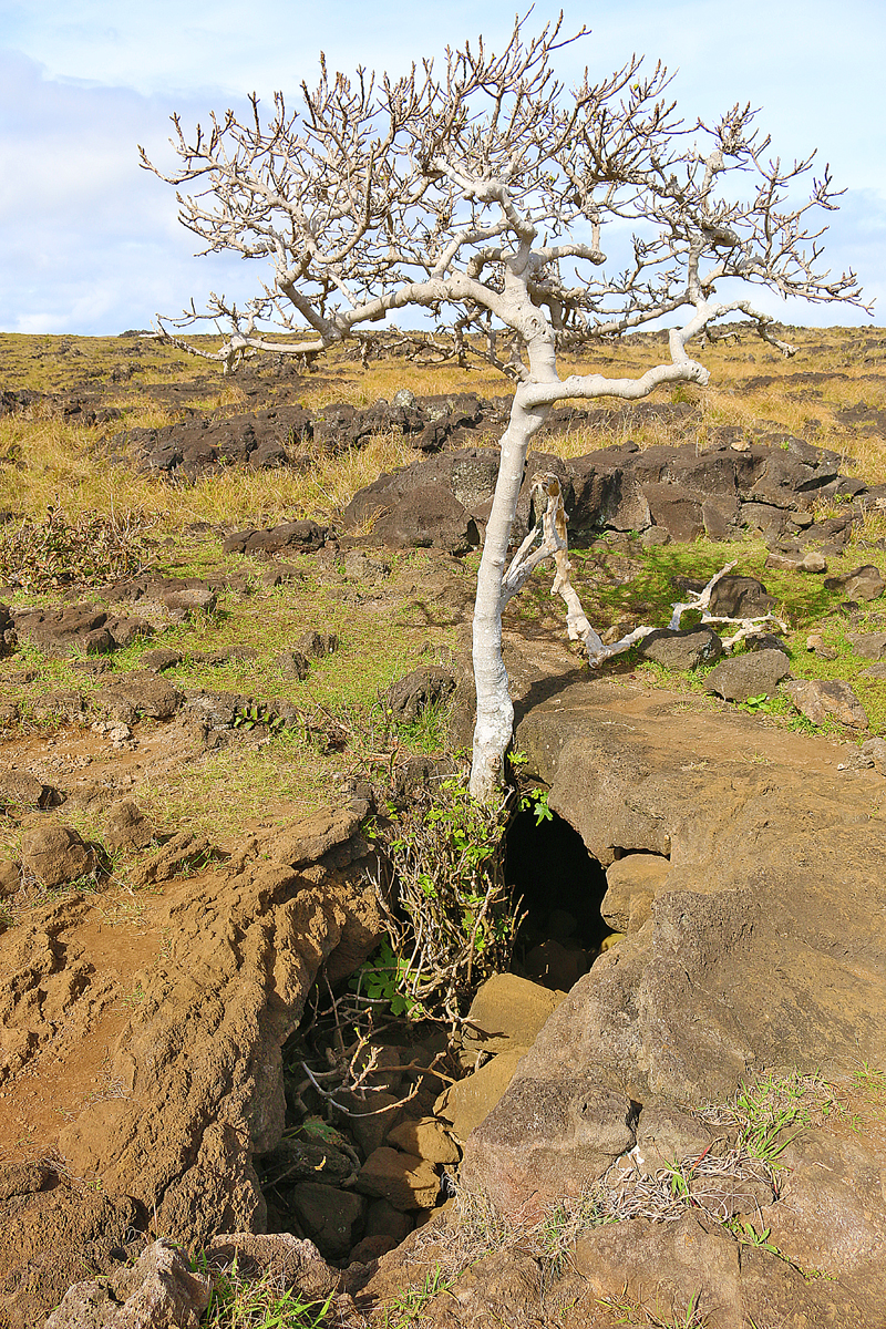
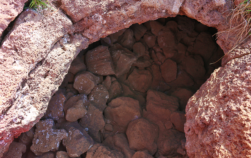
The other access to the cave is significantly rougher and more natural than the previous one — and it forms a picturesque frame to the fig tree which grows from below the ground and ascends to the surface.
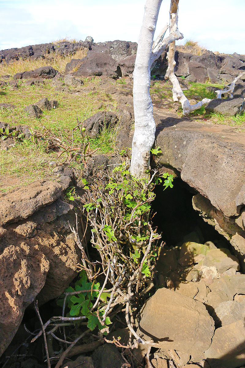
As evidenced by its root system from a hole of the lava tube, this young fig tree was born from the interior of Ana Te Pora.
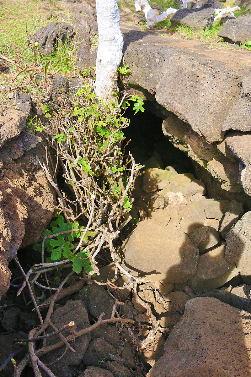
Upon closer inspection, one can observe the fig leaves which adorn the roots of the tree.
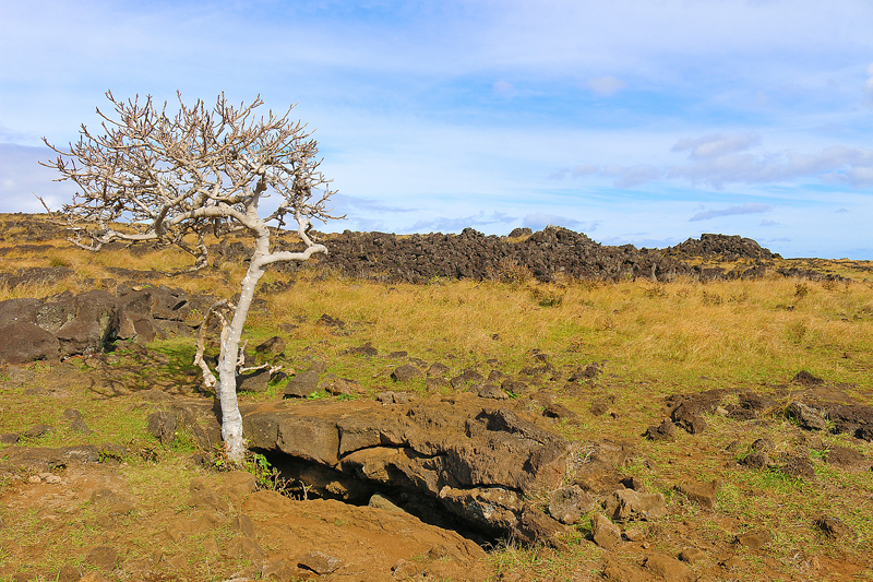
You can extricate yourself from the lava tube through this hole by doing some climbing on the stones, if you are capable enough to do so — or another option is to return by the same path to the main entrance.
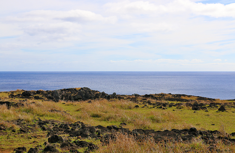
A lateral tunnel leads to another exit near the cliff halfway between the main entrance and exit. Only a few visitors choose this option because it requires dealing with truly dark, narrow and claustrophobic stretches before reaching the end — but the scenery is considered as a reward for the effort.
Final Boarding Call
Ana Te Pora is not represented on Google Maps; but it is located on the northwestern coast of Easter Island approximately 400 meters north northeast of another cave known as Ana Kakenga; or slightly greater than one kilometer southwest of Ahu Te Peu. Ana Te Pora is part of the Te Ana circuit of caves which include Ana Te Pahu, Ana Te Pora and Ana Kakenga.
You can use a motor vehicle to get yourself within the vicinity of Ana Te Pora; but access beyond the only road in the area is by either walking or using a bicycle.
If you can afford to spend a minimum of 75 minutes walking approximately 4.5 kilometers, you can hike on the trail which starts at Ahu Tahai and passes through Hanga Kio’e — and during the walk, you can enjoy the breezes of the sea — which can be especially welcome on a warm and sunny day — and the beautiful views of the cliffs along the northwestern coast of Easter Island.
Remember that Ana Te Pora is part of Parque Nacional Rapa Nui — which is the national park of Easter Island — and you must present your ticket at the checkpoint prior to entering. You will need to pay $80.00 in United States dollars just for admission into the areas of the national park; and the ticket may be purchased either on arrival at the airport or in the center of town of Hanga Roa, which is the only municipality on Easter Island.
Ensure that you please leave cultural features exactly as you find them during your visit.
Please refer to the Easter Island: Itinerary and Master Guide article — which is still a work in progress — for links to other articles at The Gate With Brian Cohen which pertain to Easter Island.
All photographs ©2019 by Brian Cohen.
