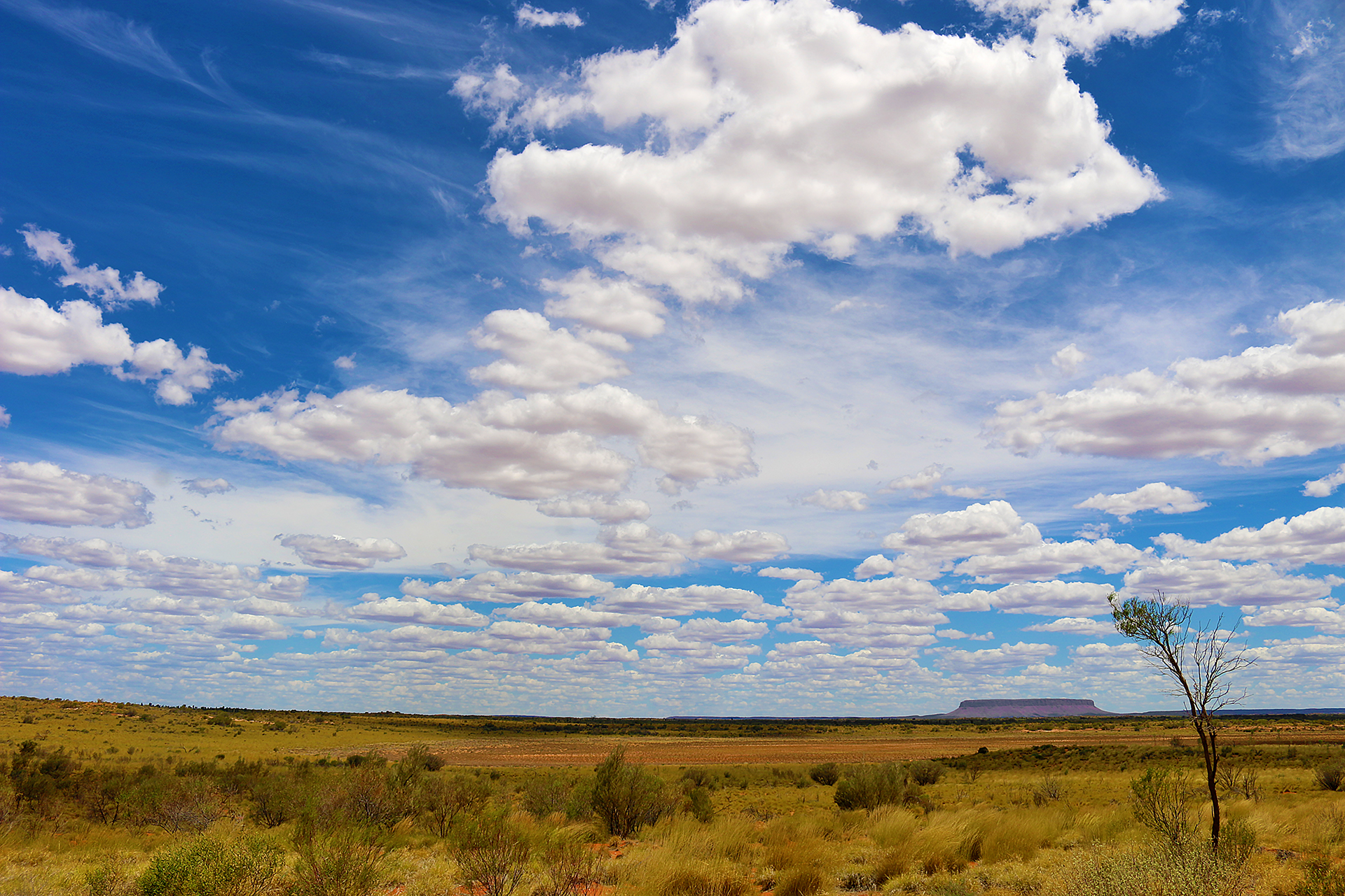
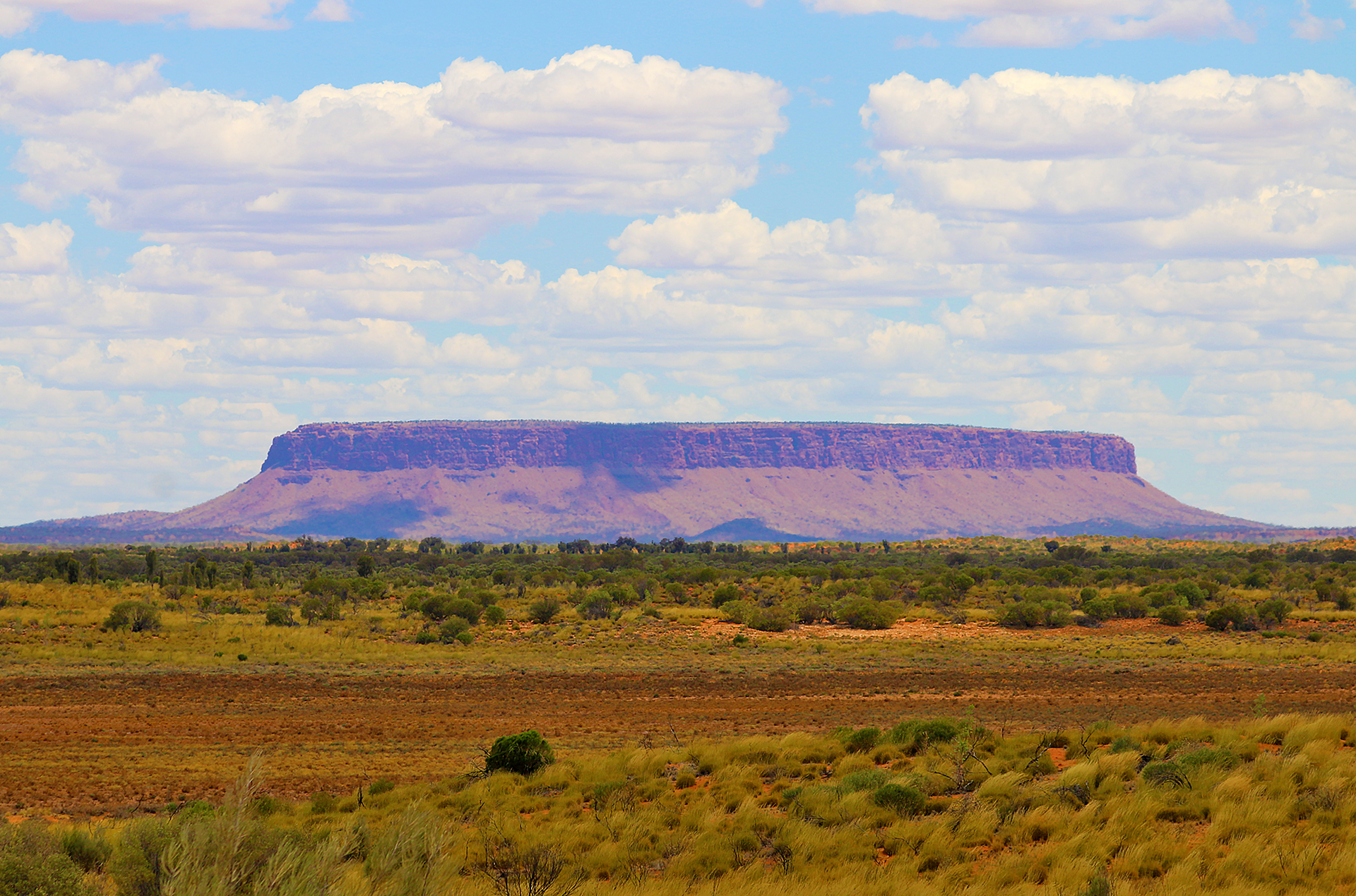
Mount Conner in Australia is also known as Fooluru due to people who drive on Highway 4 between Yulara and Highway 3 — which is also known as Lasseter Highway — mistaking it for the more famous and legendary monolith known as Uluru.
“Fooluru”: Mount Conner in Australia

Located approximately 75 kilometres or 47 miles southeast of Lake Amadeus in the locality of Petermann in the southwest corner of the Northern Territory of Australia, Mount Conner was named in 1873 by an explorer named William Gosse after Mountifort Longfield Conner — but its Aboriginal names are either Artilla or Atila.
The height of Mount Conner reaches 859 meters or 2,818 feet above sea level — or 300 meters or 984 feet above ground level.
The sides of Mount Conner are blanketed by scree or talus, which are loose pebbles and rocks. Its top is blanketed by loose unconsolidated sediments known as colluvium; while its base is surrounded by loose clay, silt, sand, or gravel that has been deposited by running water, which is known as alluvium.
The summit of Mount Conner is an erosional remnant of a Cretaceous geomorphic surface — similar to the summits of low domes within the complex of Kata Tjuṯan and the summit levels of the actual Uluru. Mount Conner is considered to be a classic example of a monolithic inselberg, which was created by the erosion of surrounding layers of rock or sediment in the ground.
Final Boarding Call
Uluru was once more popularly known as Ayers Rock until at least 1993; so the moniker of Fooluru for Mount Conner likely became more popular within the last 30 years.
The only way Mount Conner can be reached is either by hiking to it or via helicopter through an organized tour — but even then, the site is located on private land. Climbing Mount Conner has never been allowed.
All photographs ©2024 by Brian Cohen.

