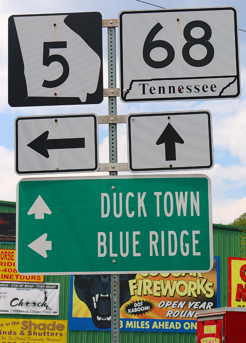
Not knowing how my experience would turn out at Katz’s New York Deli in McCaysville in Georgia, I did not want to base my driving 178 miles for greater than three hours round trip on just one thing — so I thought I would wander around the two towns which straddle the state line: McCaysville in Georgia; and Copperhill in Tennessee.
Fun With Borders: Georgia and Tennessee
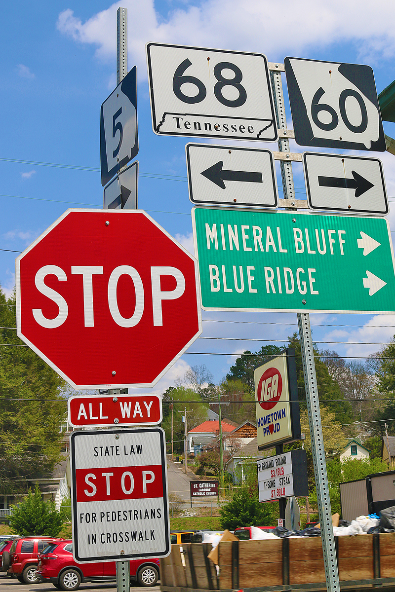
West of the corner of the intersection of Georgia State Highway 5, Georgia State Highway 60, and Tennessee State Highway 68 — which are also known respectively as Blue Ridge Drive, Toccoa Avenue, and Ocoee Street — is where the state line cuts across diagonally.
At least the word pedestrians is spelled correctly on this sign — unlike the sign which was featured in this article — nor is there a sign nearby which contradicts it with the words keep moving.
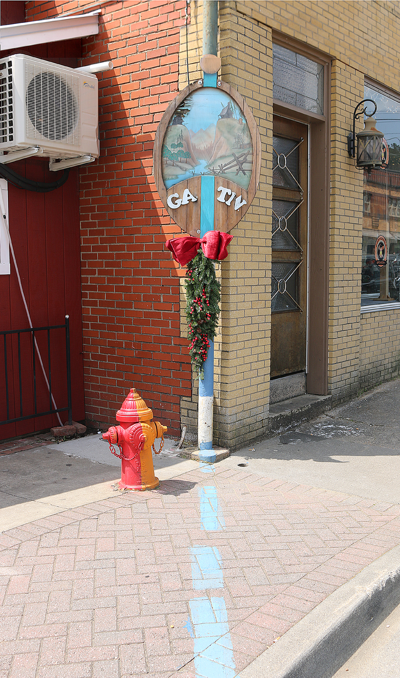
…and placed inconspicuously on that state line by the concrete sidewalk is a sign which demarcates the states. The view of this sign is facing west. Unfortunately, the N in TN is broken.
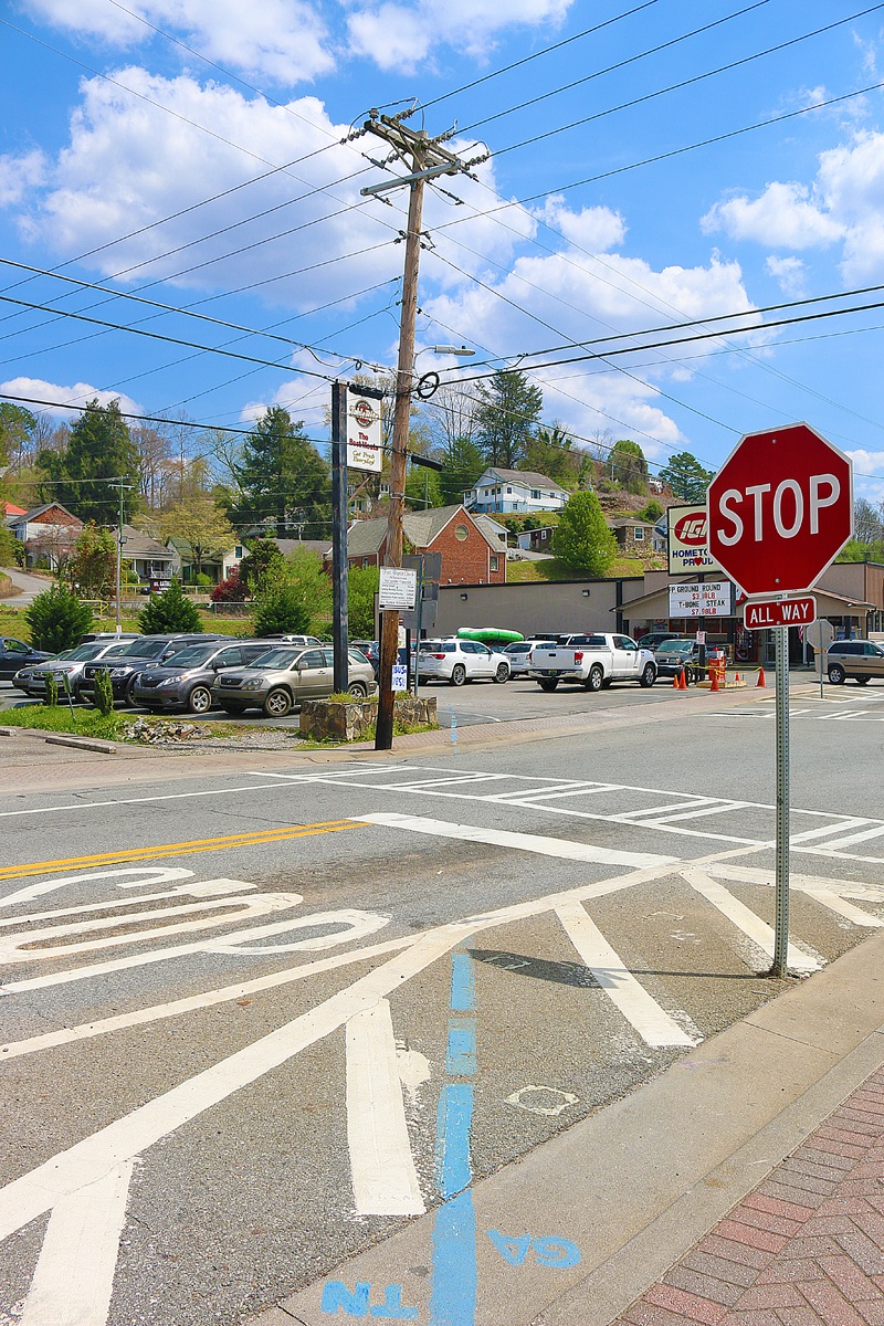
Facing east from the aforementioned sign is a blue line which cuts across the street at the western end of the main intersection for both towns; and it continues into the parking lot of a local supermarket. You can literally park in Tennessee on the left in the parking lot of the supermarket, which is located in Georgia. The rear of the white vehicle in the center of the photograph is actually in Tennessee; while the front of it is in Georgia.
Saint Catherine Catholic Church is the red brick building in the center of the photograph; and the state line cuts right through it — as well as the corners of private houses. Imagine being in your house in Georgia and the backyard is in Tennessee. Some residents here do not have to imagine it — they live it every day.
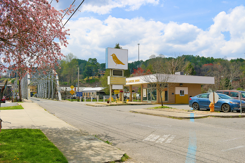
Grand Street in Copperhill is west of the main intersection — but the name becomes Bridge Street in McCaysville…
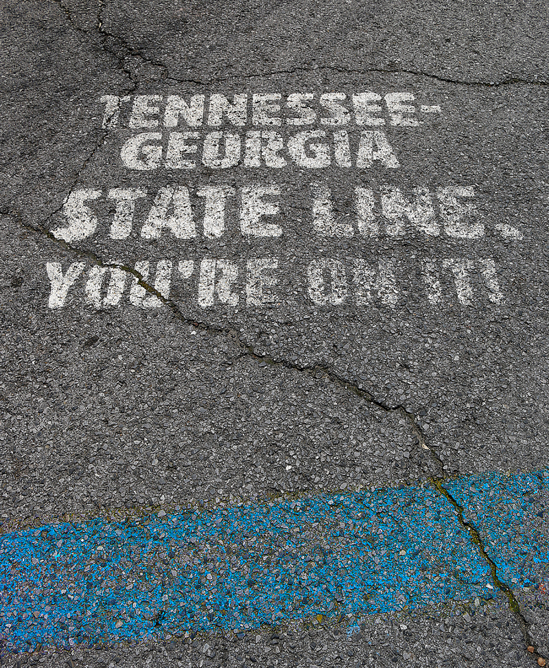
…and painted in white letters on the asphalt of the street along the blue line is “Tennessee-Georgia State Line. You’re On It!”
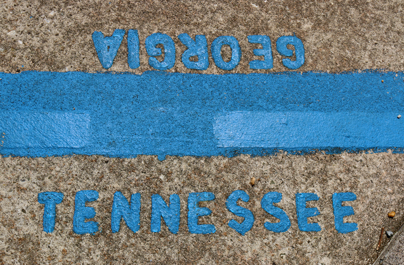
If that was not enough, reminders are also painted in blue on the sidewalk along the blue line as to in which state you are located…
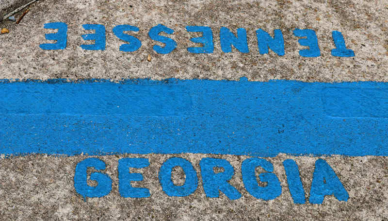
…and this is viewing the same marker from the opposite state.
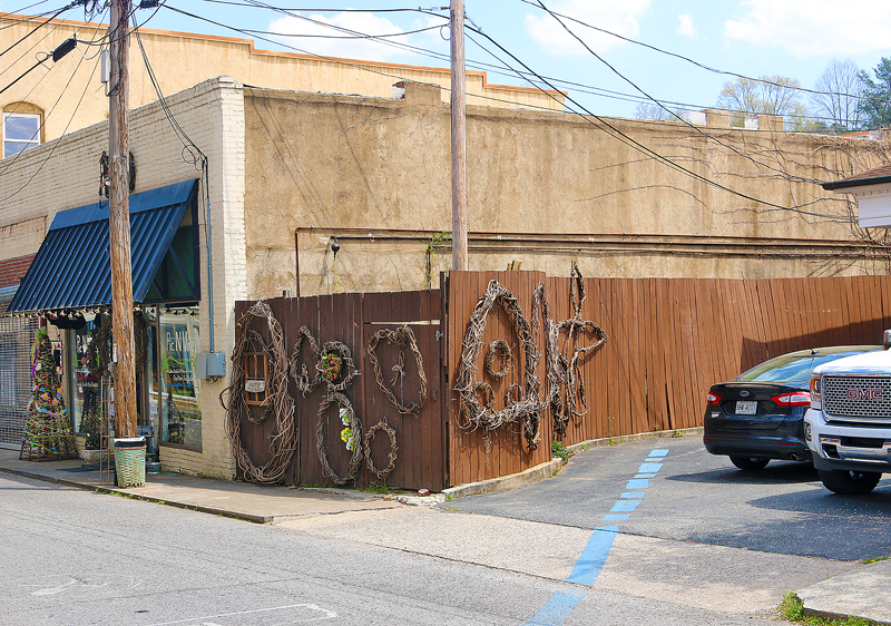
This shop even advertises on its window to come on in and walk along the state line which goes right through it.
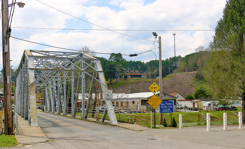
Facing southwest at the bridge itself — which is wholly located in Georgia; so the blue sign is actually somewhat misleading — the Toccoa River in Georgia on the left becomes the Ocoee River in Tennessee on the right.
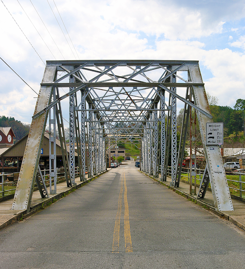
One can walk or drive across this camelback truss bridge — whose official name is the Old Toccoa River Bridge — which was constructed in 1928.
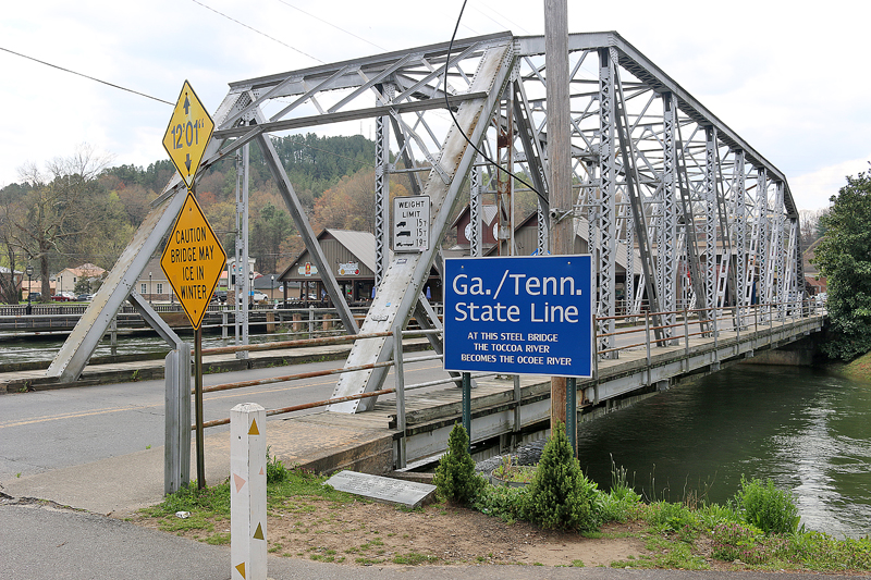
The Old Toccoa River Bridge was the main bridge in town until 1936, when a new bridge — which is arguably less interesting in design — opened for Georgia State Highway 5 only one block to the southeast, as can be seen in the background on the left side of the photograph above.
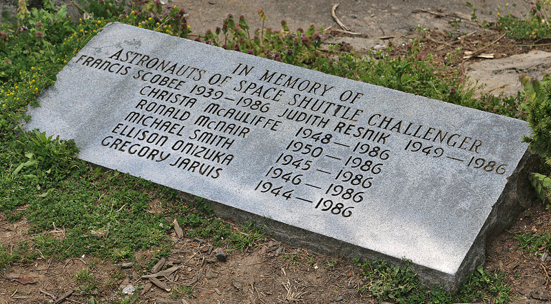
Oddly enough, a granite marker — which is placed between the bridge and the sign — is in memoriam of the seven astronauts who died in the disastrous failure of the space shuttle Challenger, which exploded 73 seconds into its flight on January 28, 1986 at 11:39 in the morning Eastern Standard Time.
Final Boarding Call
I guess I am just a young boy at heart who is fascinated with borders of many different types, as illustrated in other articles which I have written over the years — including:
- Fun With Enclaves and Exclaves: Baarle Hertog and Baarle Nassau
- Fun With Enclaves and Exclaves: United Arab Emirates and Oman
- 3 Countries at the Same Time: Drielandenpunt
- The Vennbahn Former Railroad Line: Belgium Winds Inside of Germany
- 13 of the Most Fascinating International Borders in the World
- Would You Visit Bir Tawil — The Unclaimed Land No Country Wants?
All photographs ©2021 by Brian Cohen.
