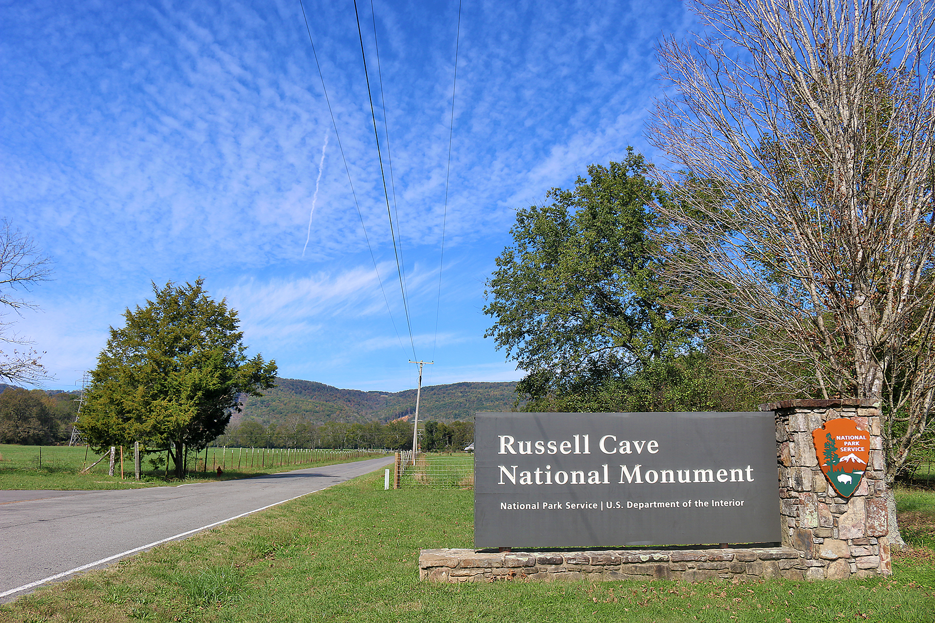
The land of Russell Cave National Monument in Alabama was purchased in 1956 by the National Geographic Society and donated to the people of the United States prior to being officially established on Thursday, May 11, 1961 by John F. Kennedy, who was president of the United States at the time. The park serves to protect one of the most complete records of human occupation in the southeastern United States.
Russell Cave National Monument in Alabama
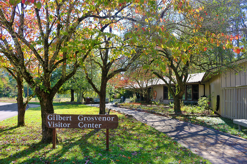
The first stop in Russell Cave National Monument is the visitor center, which was named after Gilbert Hovey Grosvenor. He was the first full-time editor of National Geographic magazine and was hired in 1899 by Alexander Graham Bell.
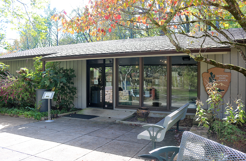
At the visitor center, one can watch documentary films about the lifestyles of prehistoric peoples, view exhibits of artifacts in the small museum, or purchase items from the gift shop or book store.
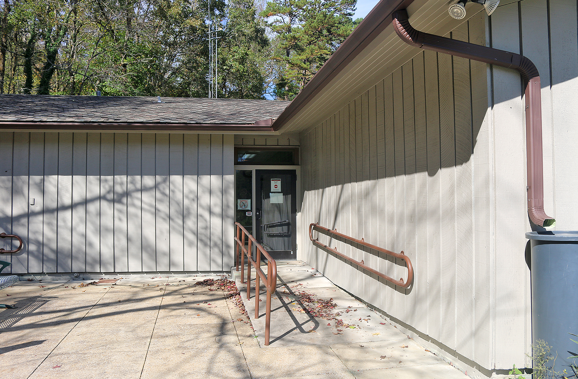
The rear of the visitor center is equipped for access for disabled people. Apparently, rain water is collected and saved in a large plastic container.
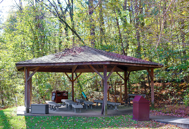
A covered area is set aside for visitors to learn about Russell Cave National Monument from an interpretive ranger of the National Park Service, who conducts guided tours of the cave shelter.
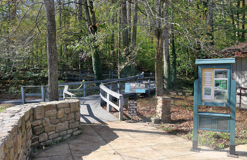
Visitors are informed at the beginning of the trail that for many thousands of years, Russell Cave has experienced weather extremes that change water levels passing through the tunnel system, whose length is approximately 7.5 miles. Three photographs show the many changes of flow from flooding during high water events, normal steady flow, to drought conditions at the double entrance of the cave.
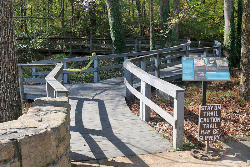
A sign cautions visitors to stay on the trail, as it may be slippery. One area of the trail was closed off with yellow tape.
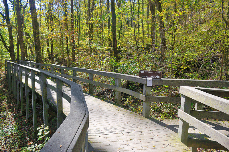
The boardwalk offers a choice of visit Russell Cave itself on the left — which is approximately 300 feet away from the visitor center — or to embark on a nature trail to the right.
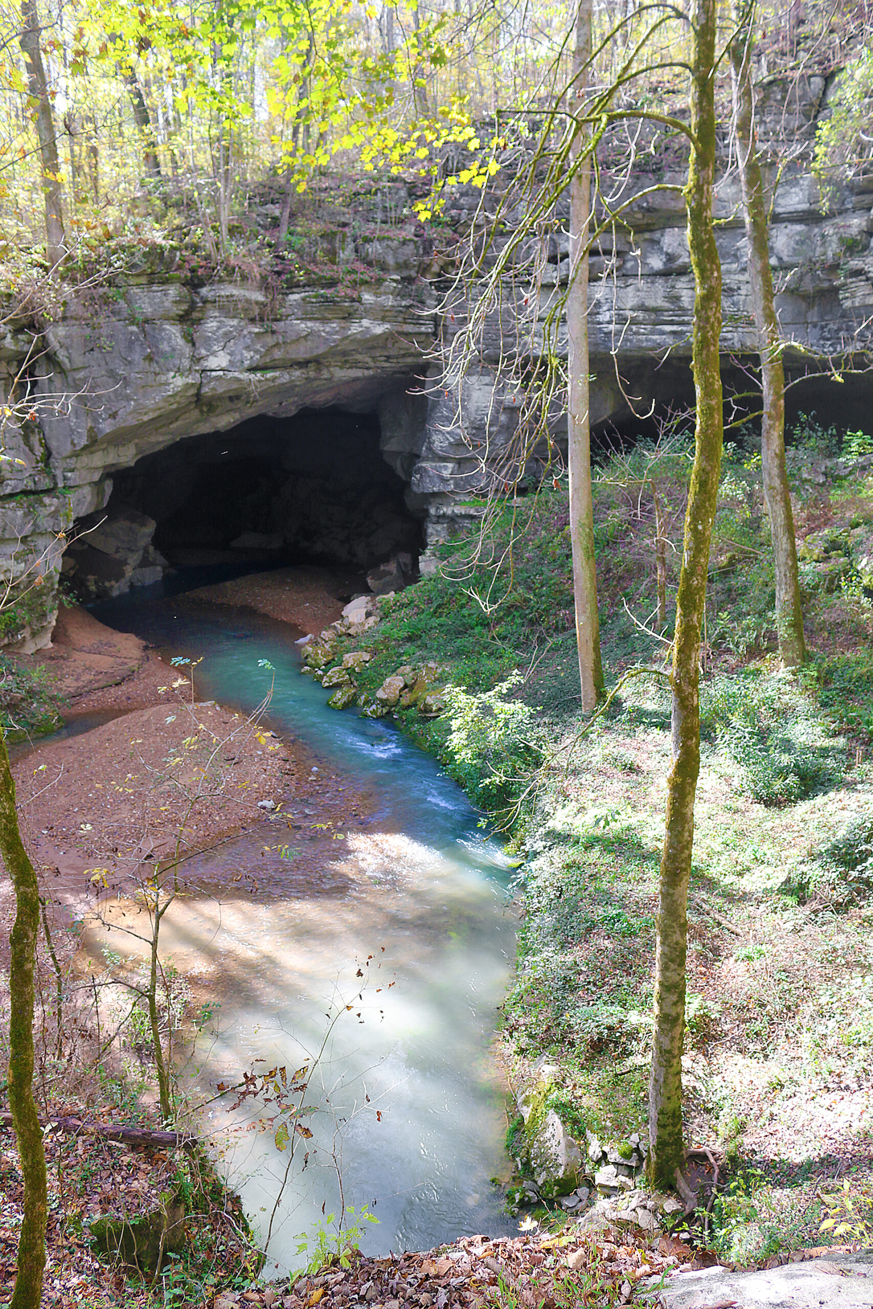
Russell Cave appeared to be tranquil when I visited; but it could flood at any time, as flooding is common. Russell Cave can flood in a matter of hours and drain just as fast, as a mere few inches of rain can result in several feet of water. For this reason, touring inside the cave shelter is unfortunately not permitted.
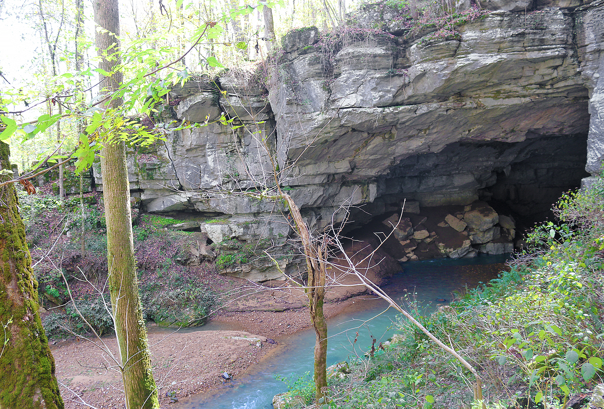
14,000 acres of land drains into Russell Cave, which is constantly changing. The water which flows through the cave has carved the openings that are seen here — as well as the several miles of passageways of which the cavern system is comprised.
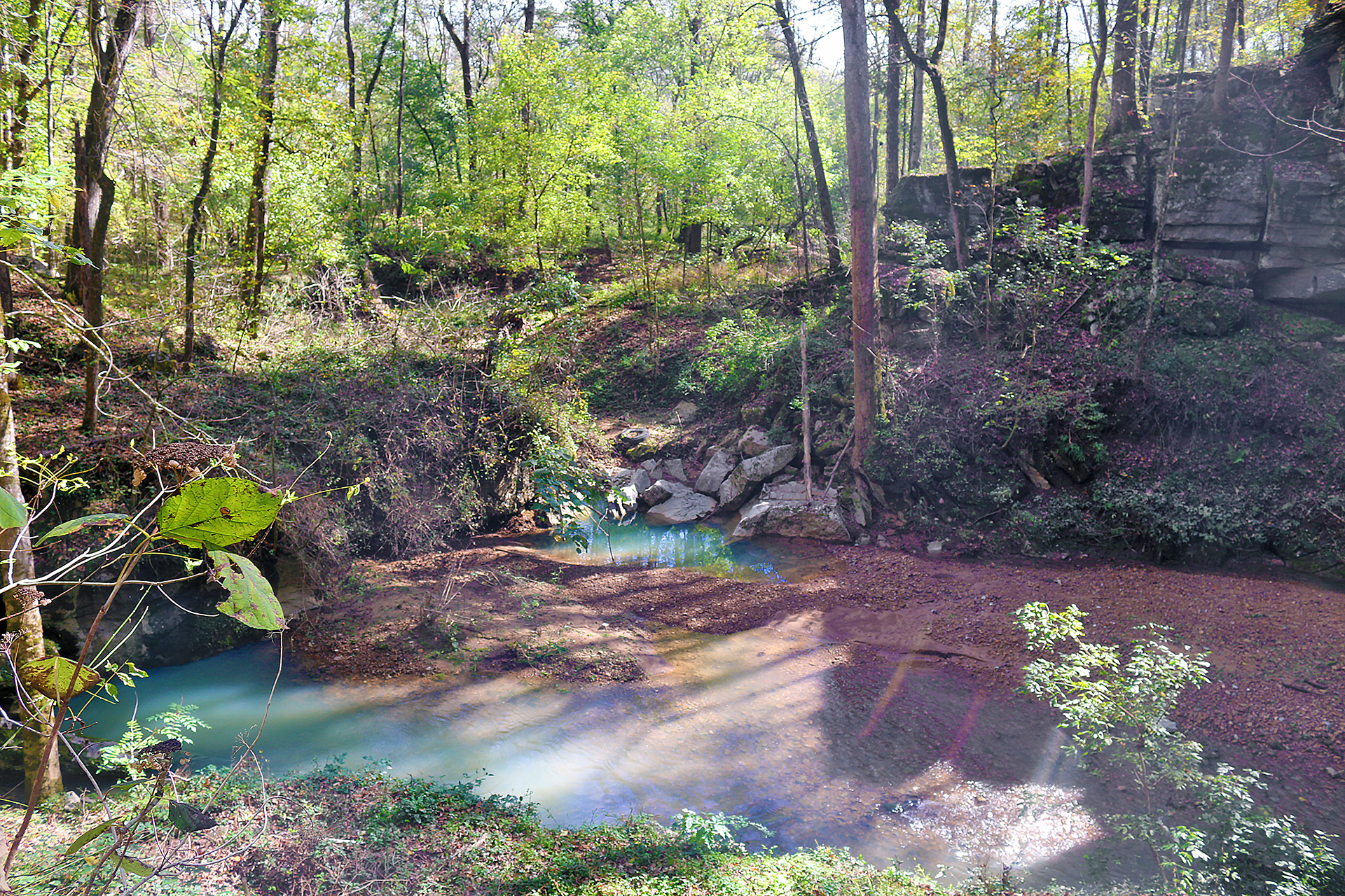
As the water moves through the area and to the opening of the cave, it picks up a lot of things along the way. Debris is deposited throughout the cave — as is trash that is picked up by the water — and deposited in the cave and surrounding area.
The trash — along the roadside and elsewhere — never really disappears. It simply gets relocated to somewhere else.
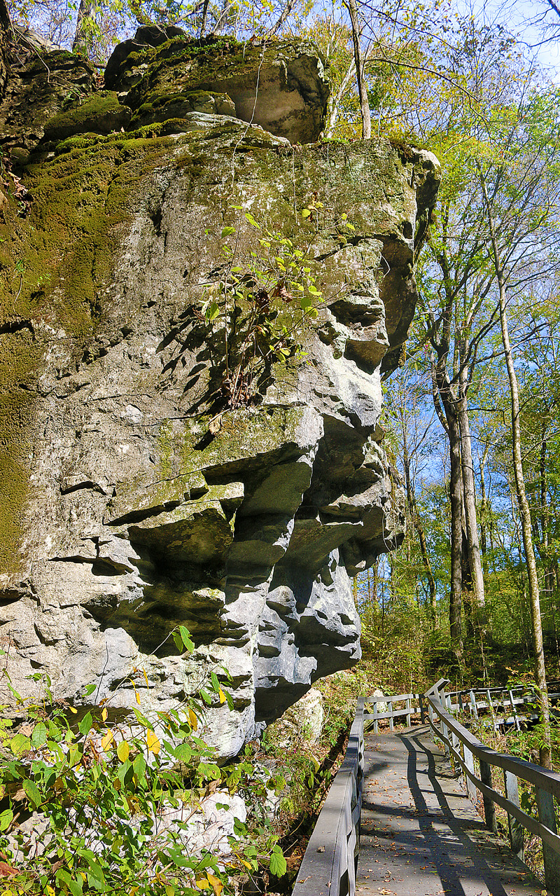
The view that is shown in the above photograph is looking at the boardwalk away from Russell Cave towards the visitor center.
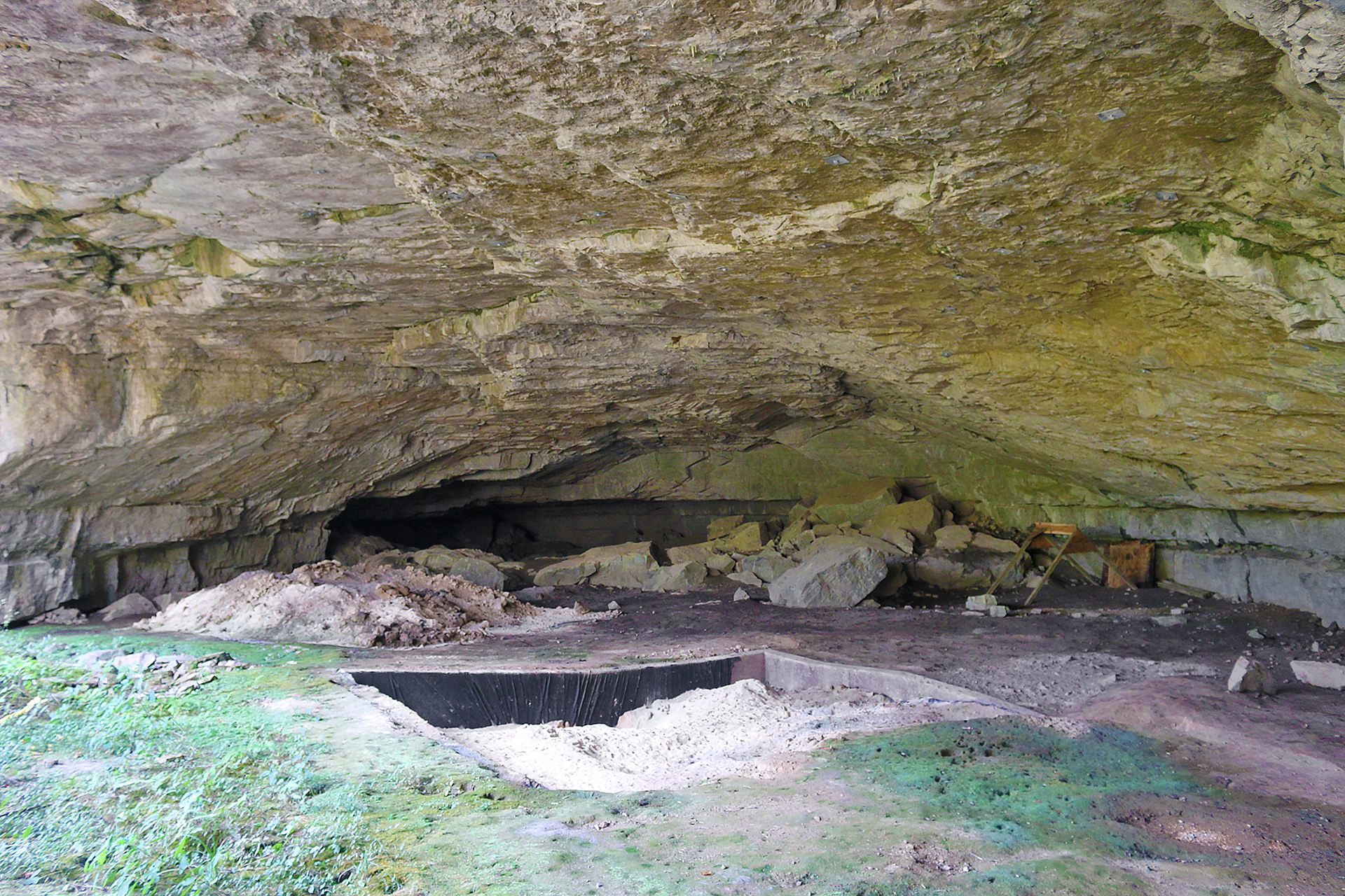
Archeologists were able to date the time people lived here from approximately the years 14,000 BCE to 1650 CE through elaborate excavations in the 1950s and 1960s.
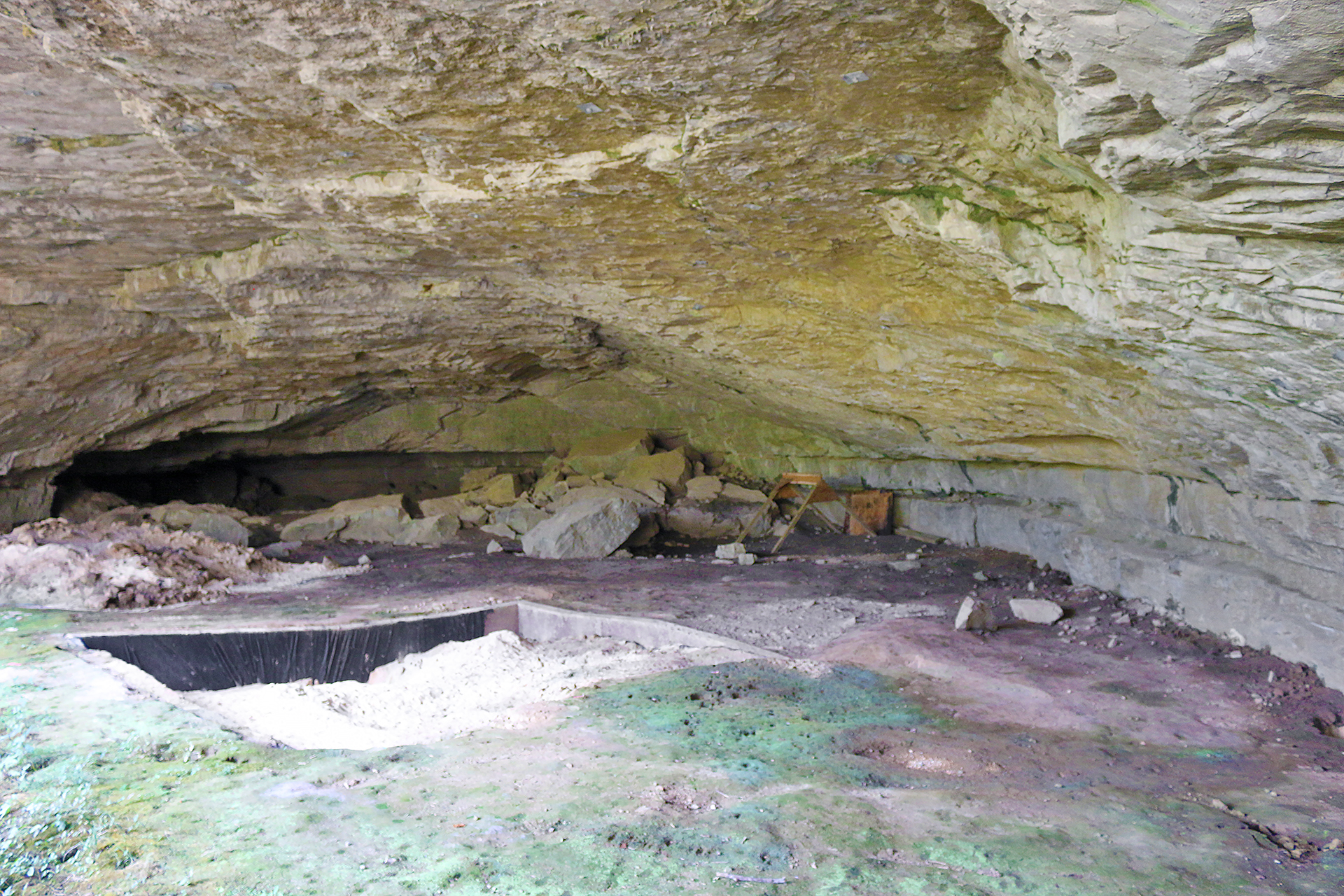
Because of this extensive period of time, Russell Cave is a unique spot to not only learn about the history of the southeastern United States; but also how archeology can teach us about the past.
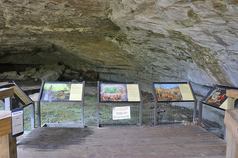
Information is imparted by at least five different signs — along with one with the warning “DANGER Stay on Boardwalk” printed on it. Visitors can also participate in a mobile tour of the outer part of Russell Cave, with the stops clearly marked along the way.
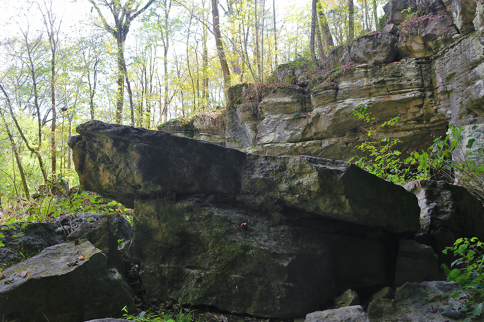
The rock from which Russell Cave was carved was formed at the bottom of an inland sea that covered the region greater than 300 million years ago.
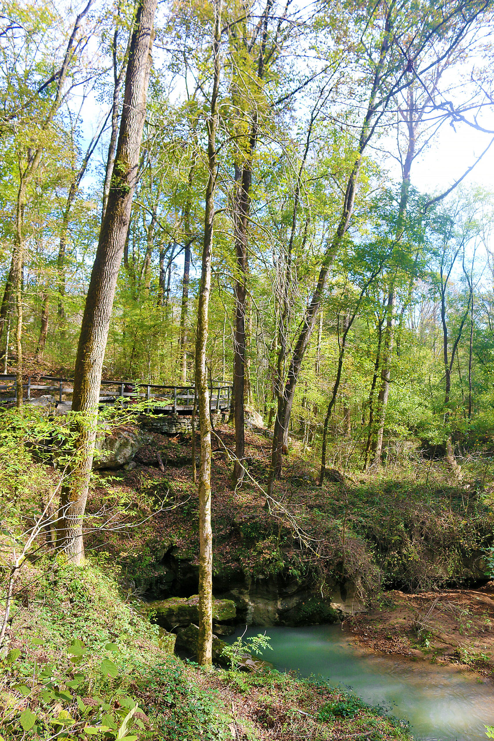
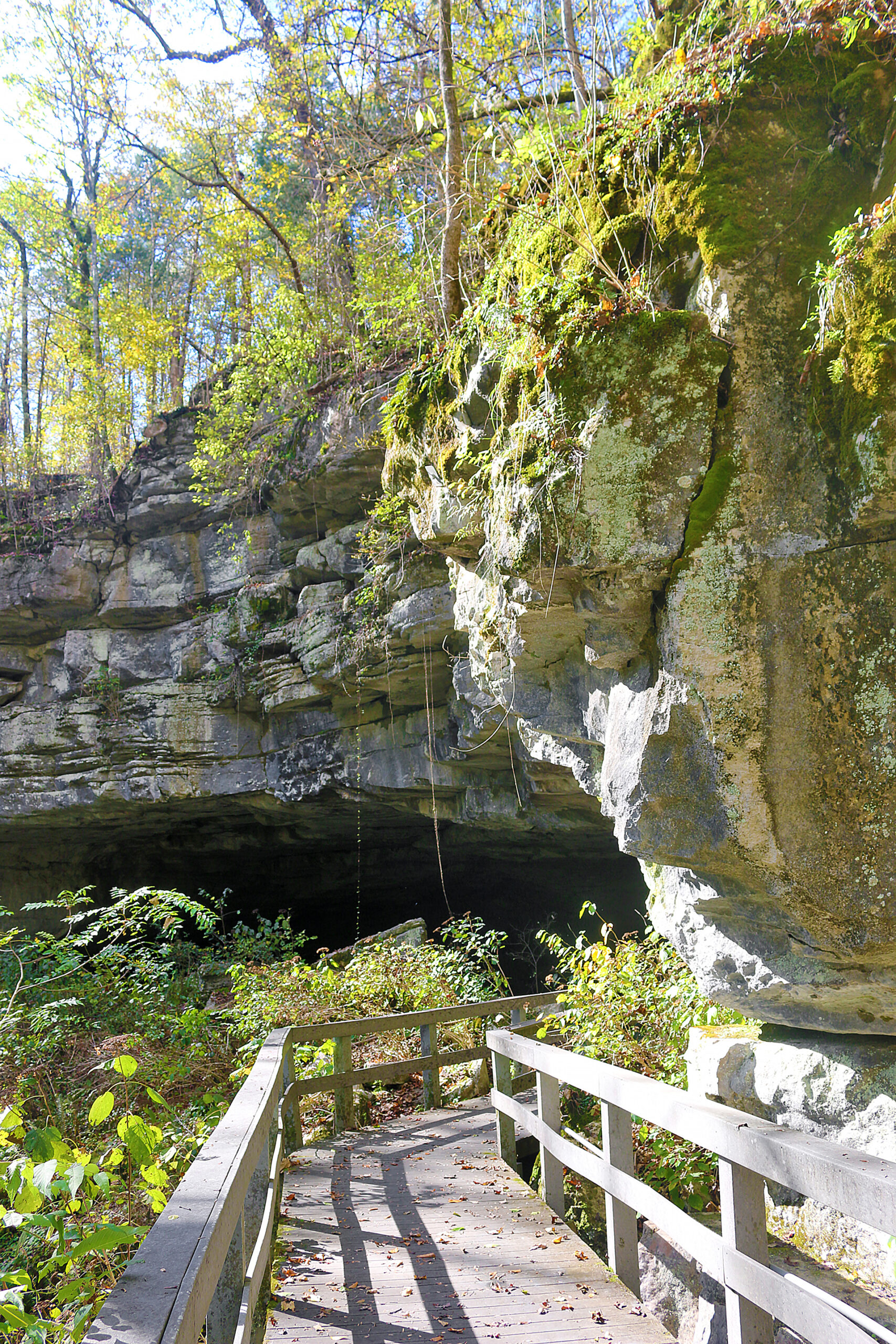
The photographs above and below show the boardwalk between the visitor center and Russell Cave.
Nature Trail
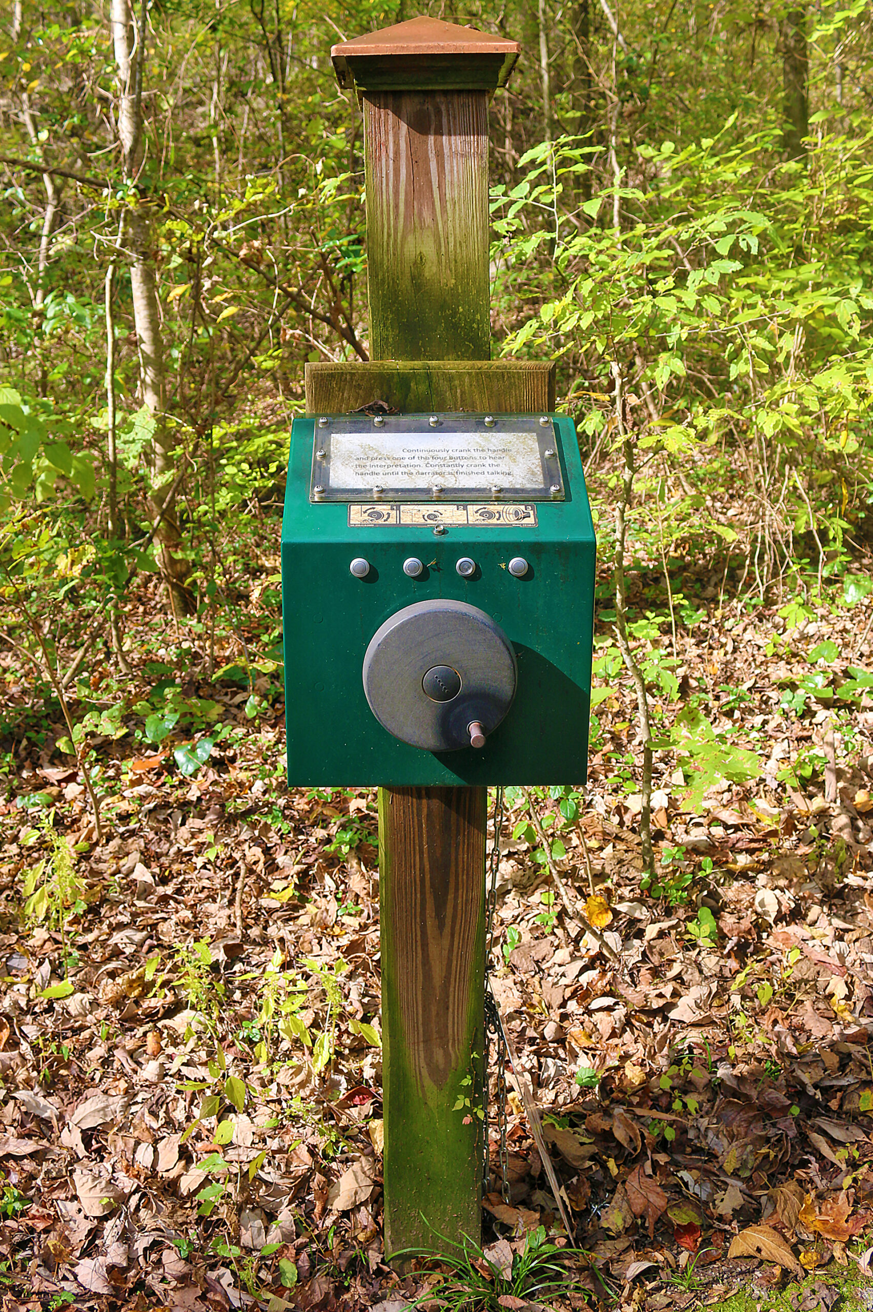
A sign — along with diagrams — on a green box which was mounted on a wooden post instructed users to “continuously crank the handle and press one of the four buttons to hear the interpretation. Constantly crank the handle until the narrator is finished talking.”
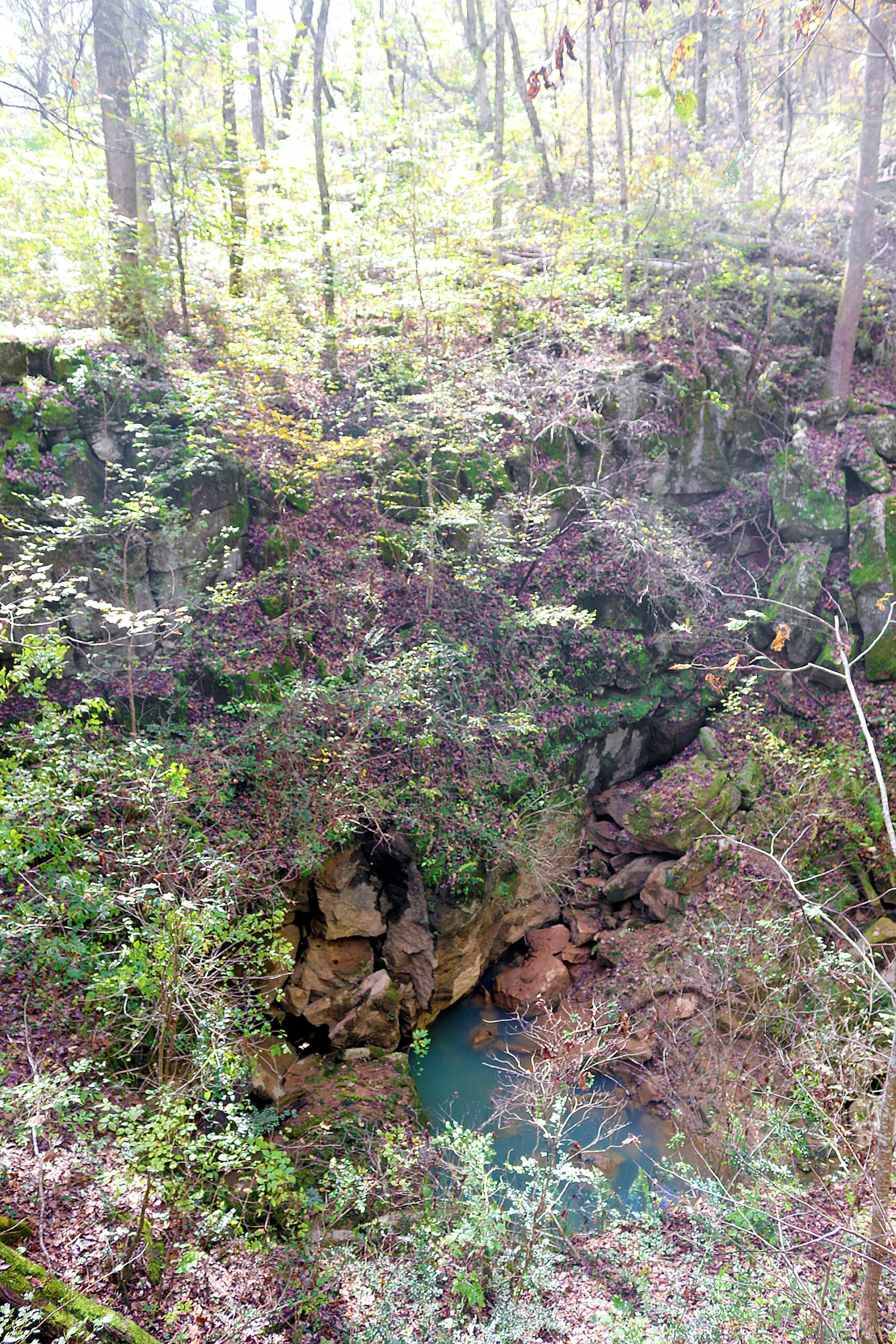
Water “attacked” the limestone and slowly carried it away to form a cavern within the crust of the earth. When the roof became too expansive to support itself, it collapsed to create this crater-like sinkhole. It was through the same process that daylight first entered Russell Cave. Water still courses beneath the ground on which visitors stand as it still molds and shapes the face of our planet.
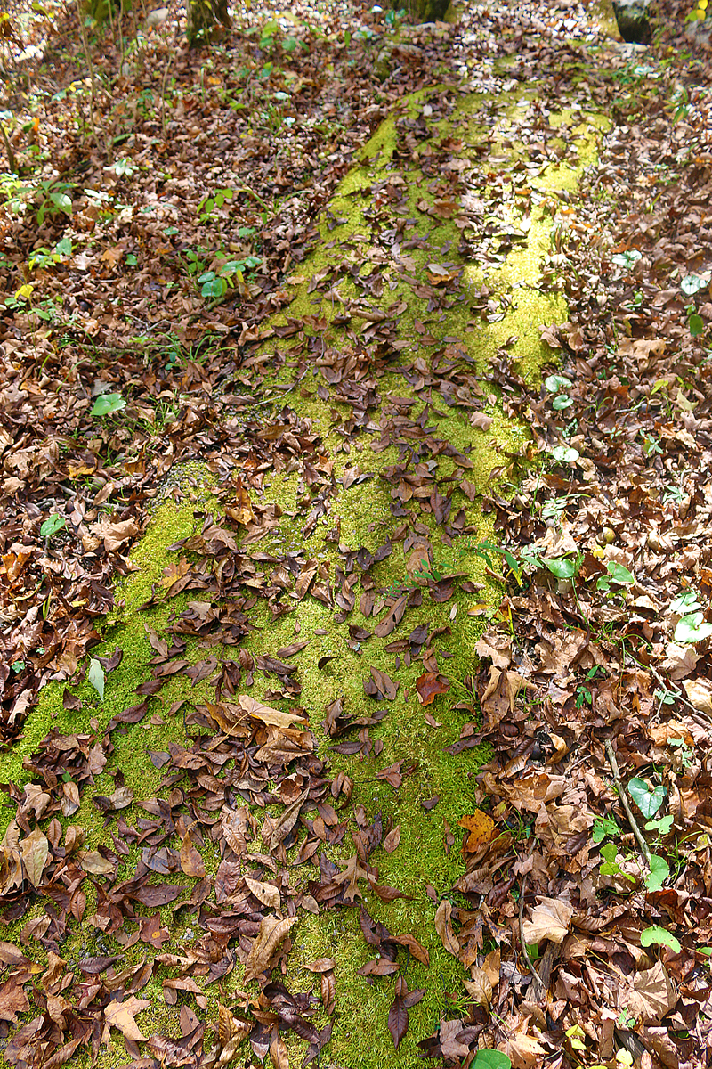
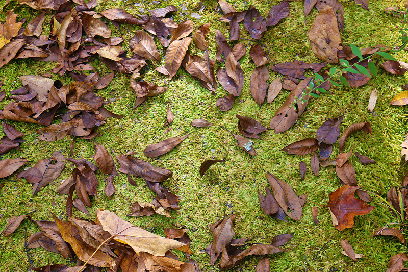
One part of the trail was covered in some type of moss, which resembled grass.
Russell Cave National Monument offers visitors a nature trail that is unpaved and is 1.2 miles in length to see the plants and landscape with which prehistoric people would have been interacting while living at Russell Cave.
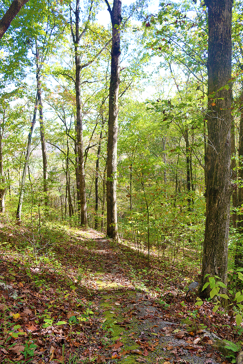
Russell Cave National Monument is Site 44 on the Northeastern Loop of the North Alabama Birding Trail. As many as 115 species of birds that live on Montague Mountain can be explored. One might also spot deer, a variety of snakes, or other wildlife along the nature trail.
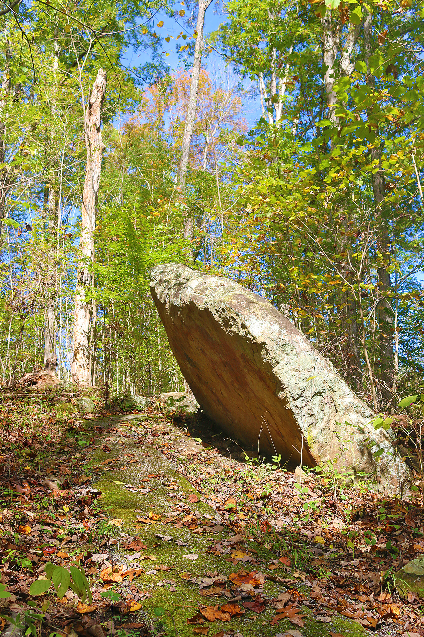
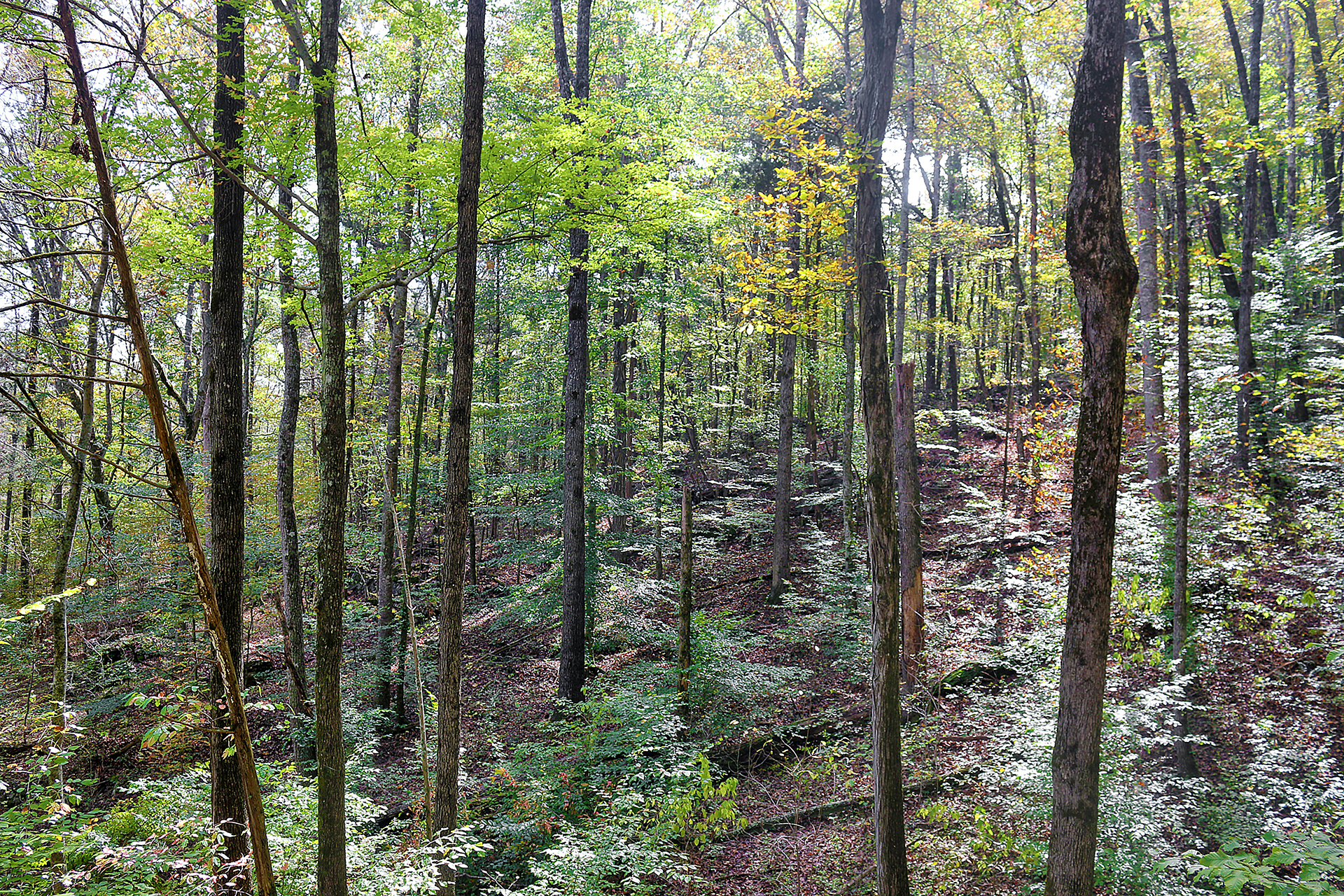
The nature trail provides good opportunities to observe the forest, wildflowers, and Montague Mountain. Points along the trails feature plants that were used by Native Americans for food, tools, and other daily necessities.
Final Boarding Call
Give yourself a minimum of 30 minutes to visit Russell Cave itself. If you want to hike on the nature trail and backcountry trail and spend some time in the visitor center, add at least another 90 minutes. Add even more time if you want to enjoy a picnic in Russell Cave National Monument.
The walk to the cave itself is via a flat boardwalk at 300 feet but on a slight decline towards the cave; so virtually anyone can visit it easily. The nature trail is significantly more strenuous than the boardwalk to the cave because it is unpaved, hilly, uneven, and comprised of dirt and rocks.
I enjoyed my visit — primarily because no other visitors were there; so the park was quite tranquil.
Russell Cave National Monument is located in the northeast corner of Alabama, just south of the state line that Alabama shares with Tennessee. United States Highway 72 is the closest major highway. The closest Interstate highway is Interstate 24 at exit 152A in Kimball in Tennessee, which is slightly greater than 14 miles away and will take at least 20 minutes to drive.
Russell Cave National Monument
3729 County Road 98
Bridgeport, Alabama 35740
256-495-2672
No fee is charged for admission to Russell Cave National Monument, which is open daily between 8:00 in the morning through 4:30 in the afternoon — except on New Year’s Day, Thanksgiving Day, and Christmas Day, when the park is closed. No fee is charged for viewing the cave and hiking on the nature trail. Pets are permitted in the park.
All photographs ©2020 by Brian Cohen.
