The most common of the 234 species of trees which are planted along the streets of the five boroughs of New York City is the London Planetree — whose scientific name is Platanus x acerifolia — of which 86,017 comprise 12 percent of the total of 694,249 mapped trees.
Tree-mendous Statistics for the City of New York With This Amazing Map
Of those 694,249 mapped trees, 253,698 are located in the borough of Queens; 180,349 are located in the borough of Brooklyn; 109,364 are located in the borough of Staten Island; 86,511 are located in the borough of the Bronx; and 64,327 are located in the borough of Manhattan.
How do I know all of this information?
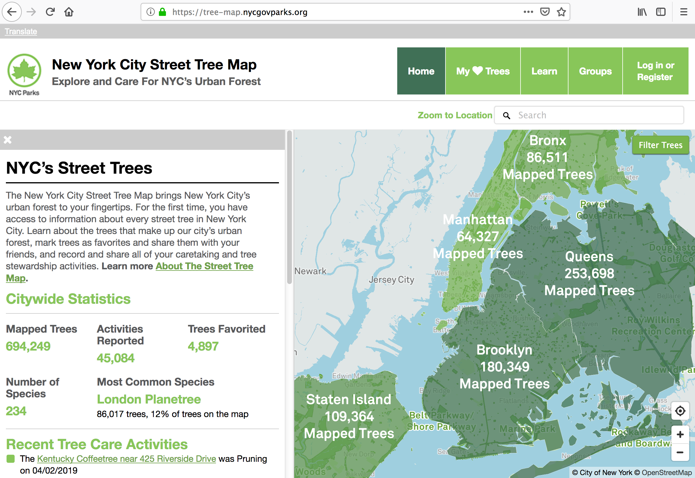
In researching information for an article, I stumbled upon this New York City Street Tree Map from the Department of Parks of the City of New York, with which you can zoom in to a specific tree and get information about it.
The ecological benefits of the trees which line the streets in the five boroughs of the city of New York are calculated using formulas from the United States Forest Service, with the total value of annual benefits estimated at $109,842,256.23, which is broken down as follows:
- 1,085,377,351 gallons of stormwater intercepted each year is valued at $10,745,230.35
- 667,590,884 kilowatt hours of energy conserved each year is valued at $84,279,933.06
- 635 tons air pollutants removed each year is value at $6,639,471.86
- 612,100 tons carbon dioxide reduced each year is valued at $4,088,797.01
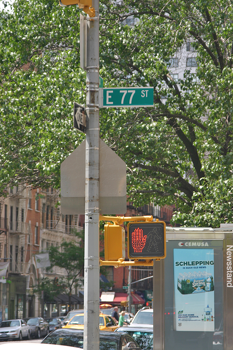
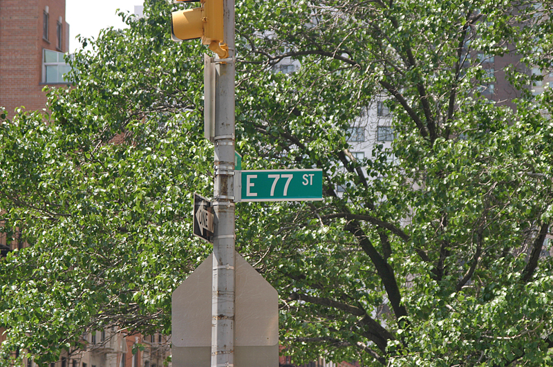
For example, above is a photograph of the southwestern corner of 3 Avenue and East 77 Street in Manhattan, facing southwest. Note the tree which is in the immediate background.
I then typed East 77 Street in Manhattan — as there is also an East 77 Street in Brooklyn — and the interactive map appeared. I zoomed in to the street corner and clicked on the dot which represents the specific tree — and a red circle appears around the dot on the map; while information about the tree itself simultaneously appears on the left with a photograph of the actual tree.
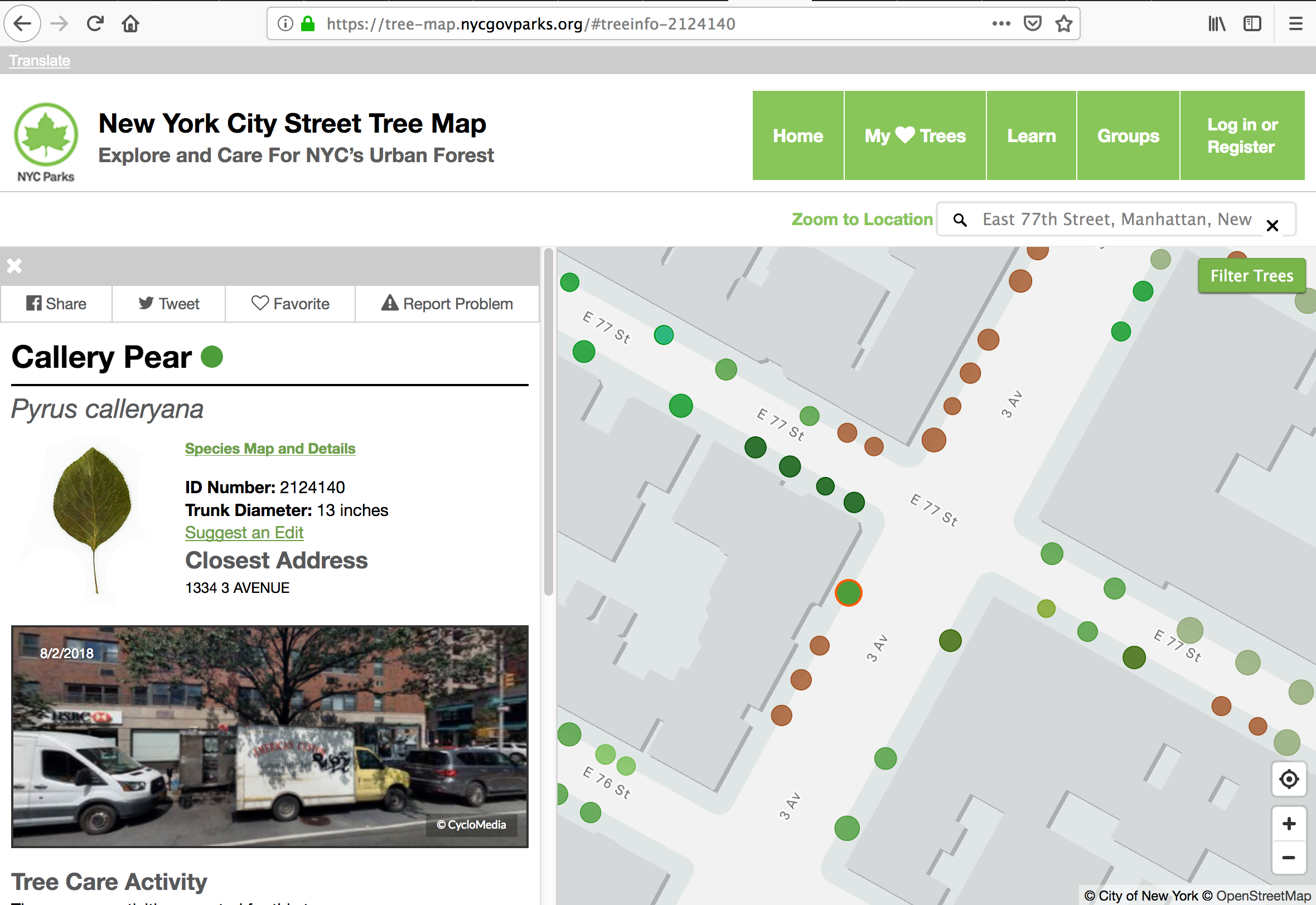
The map states that the tree in the photograph is a Callery pear — whose scientific name is Pyrus calleryana — which is a species of flowering pear native to China and Vietnam. It is most commonly known for its cultivar called Bradford, which is widely planted throughout the United States — but is increasingly regarded as an invasive species. Two neighbors who live on the same street as me planted Bradford pear trees in their yards; but they emit a sickly sweet and unpleasant odor during its flowering stage in the spring. Those homeowners have since cut the Bradford pear trees down.
Callery pears are deciduous trees which grow to approximately 16 to 26 feet tall; and often with an upright conical to rounded crown. The leaves are glossy green on the top and slightly paler below. Callery pears bloom clusters of tiny, snow-white flowers and can sometimes make the trees appear to have “falling snow” when the petals drop. Each flower has five petals. During autumn, the leaves change to colors ranging from yellow and orange to more commonly red, pink, purple, and bronze. Birds eat the tiny fruits and disperse the seeds in their droppings.
Summary
The interactive map only includes trees planted along the streets of the five boroughs of New York City and unfortunately does not include trees planted in any of the parks or private properties, which would significantly increase the number of trees to the count — I do not know how many street trees remain unmapped — but it still represents an extensive amount of effort with which I am fascinated.
I wonder if other areas around the world would consider undertaking a similar project…
All photographs ©2011 by Brian Cohen.
