
Working slowly back towards the main entrance of Bryce Canyon National Park on that frosty cold December morning after Rainbow Point and Yovimpa Point, the next stop was Black Birch Canyon.
Black Birch Canyon at Bryce Canyon National Park

Access to Black Birch Canyon — whose lookout is at an elevation of 8,750 feet above sea level — is a very quick and easy walk for almost everyone from the small parking area on the side of the main road of Bryce Canyon National Park. The paved walkway is wheelchair accessible.

Black Birch Canyon is one of nine viewpoints along the Southern Scenic Drive of Bryce Canyon National Park.
Visitors must drive approximately 16.5 miles from the entrance to get to Black Birch Canyon.
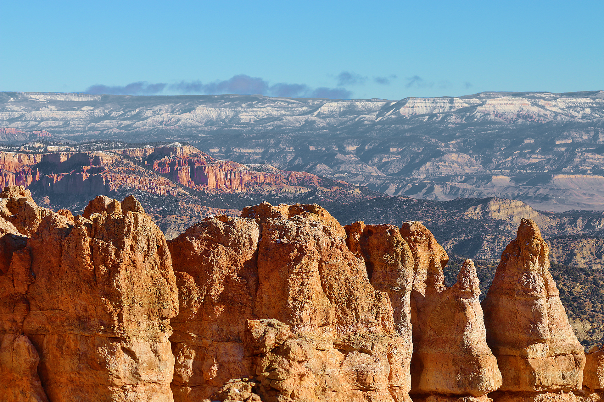
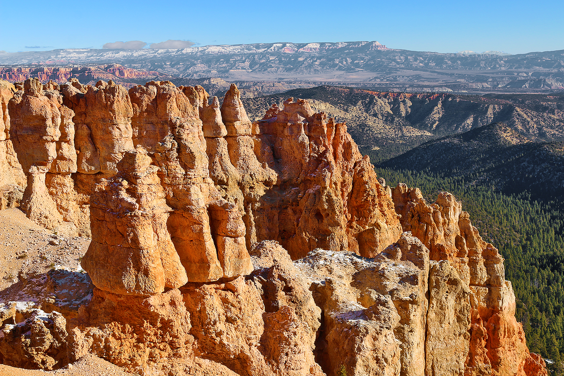
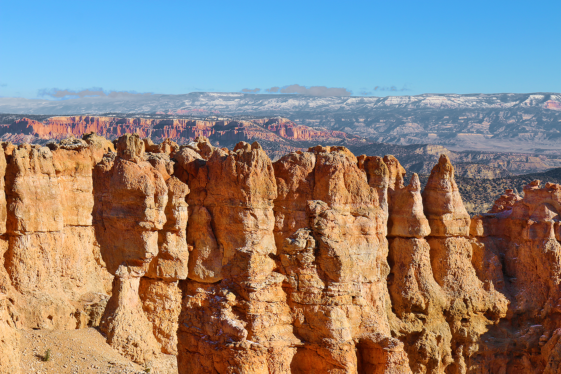
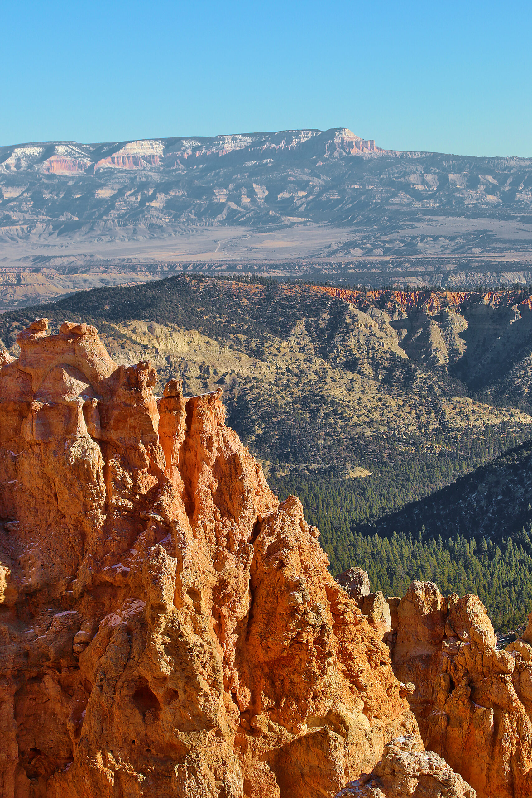
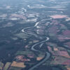
The Paria Valley — and the upper steps of the Grand Staircase exposed within it — present most of the view of Black Birch Canyon. Across the valley, the Table Cliff plateau stands at 10,000 feet or 3,048 meters; and is composed of the same Claron formation — or “Pink Cliffs” — as hoodoos of Bryce Canyon National Park. This difference in elevation is due to the presence of the Paunsaugunt fault, which is a major normal fault that runs northeast to southwest along the eastern boundary of the park. The shale-rich badlands of the Grey Cliffs can be observed below the Pink Cliffs as they slowly transform to the sometimes iron-rich sandstones of the upper White Cliffs. Kodachrome State Park is located in this transition zone.

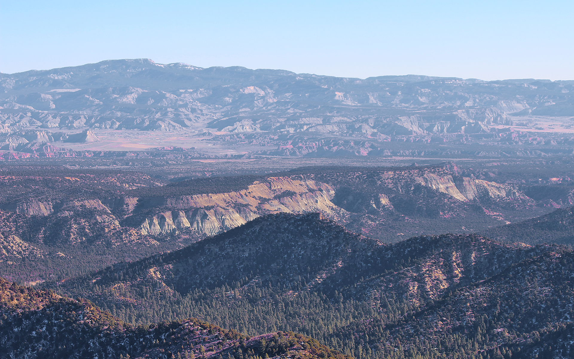
Observe the eroded edge of the Paunsaugunt Plateau, punctuated by bowl-shaped amphitheaters. Atop the Markagunt plateau to the northwest and the Paunsaugunt plateau in the north, the Tushar Mountains and Sevier plateau — or Black Mountains — which were created through volcanic activity associated with the uplift of the Colorado Plateau.
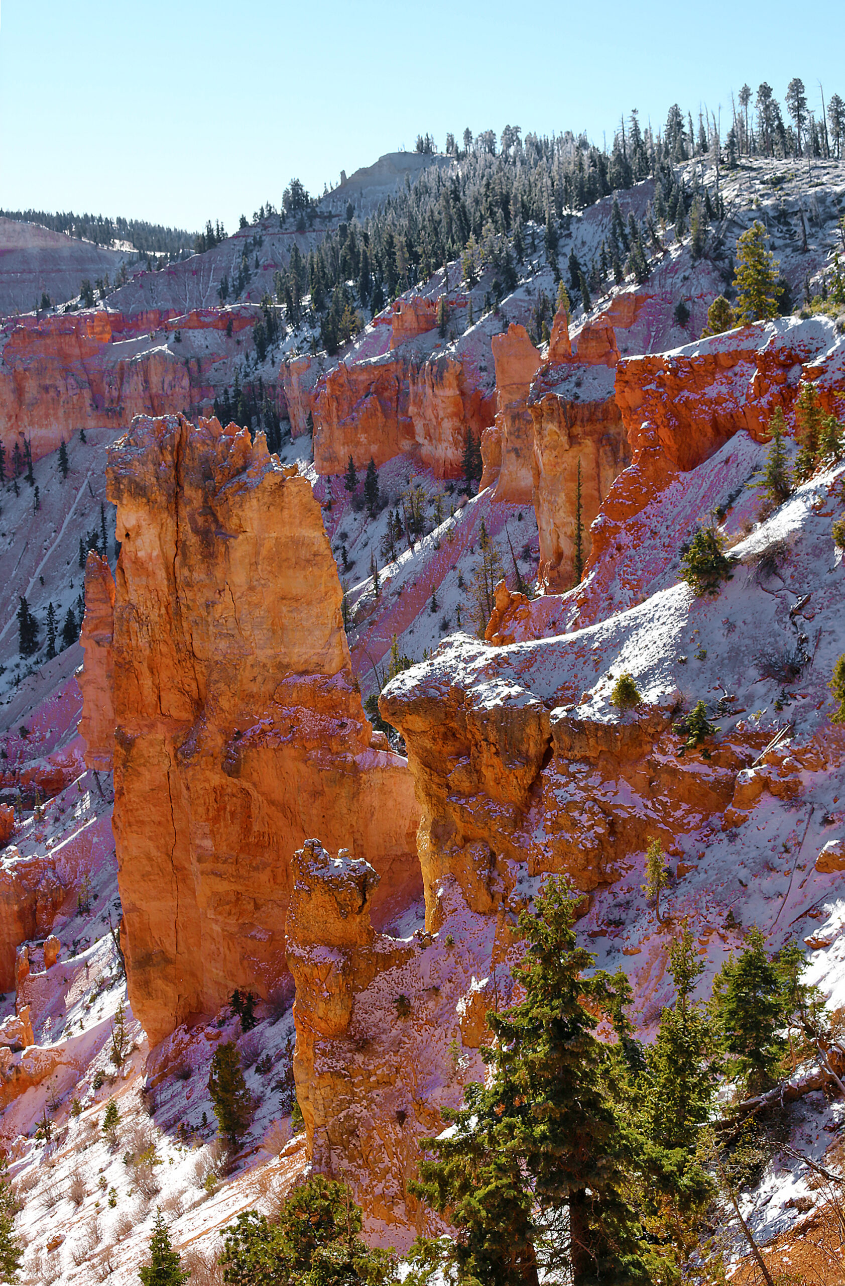
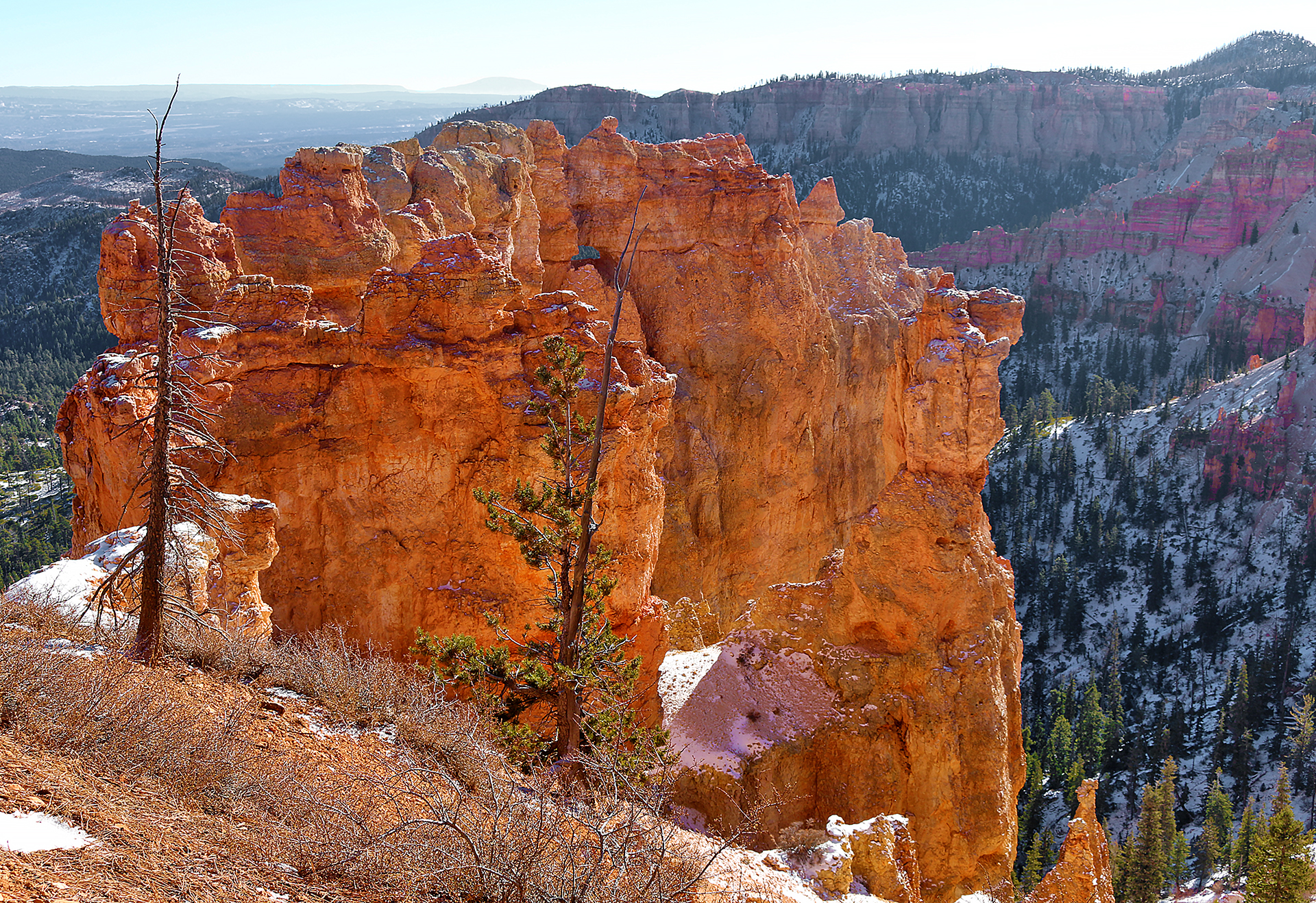
Formations of soft limey mudstones colored vibrantly by the chemical compound of iron oxide — which is also more commonly known as rust — have been shaped into beautiful forms by rain and the power frost-wedging ice.
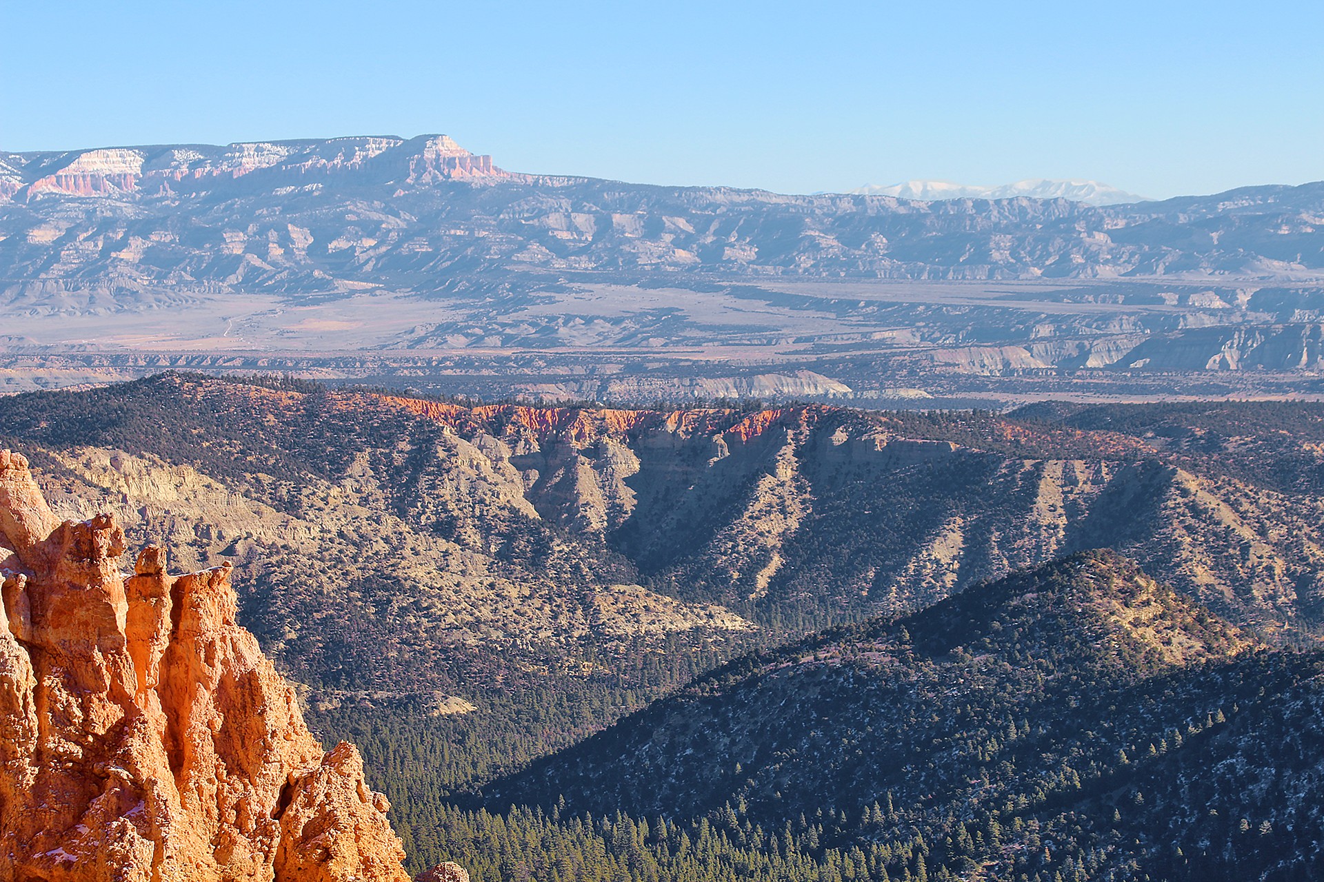
As the Colorado Plateau was uplifted by tectonic forces over the last 20 million years and is responsible for the nearly 2,000 feet or 607 meters of elevation difference expressed by the Paunsaugunt fault, a plume of molten rock moved upward from deep inside the Earth and caused a swelling — much like a large blister — which created a laccolith that is known today as Navajo Mountain. Think of it as a volcano that never quite happened. Unlike a volcano, Navajo Mountain never blew its top; so the plume cooled slowly, which created the hard core of the mountain that still exists today. Navajo Mountain looms on the distant horizon greater than 80 miles or 129 kilometers away near Page in Arizona.

Navajo Mountain looms on the distant horizon greater than 80 miles or 129 kilometers away near Page in Arizona.
Almost the same distance to Navajo Mountain in the southeast, the Henry Mountains can be seen on days with good air quality, 86 miles (138 km) away beyond the eastern horizon.

Similar to Navajo Mountain, the Henry Mountains too are laccoliths; or plumes of molten rock that warped the rocks above them but never broke through as a volcano would do.

As with the terrain of Capitol Reef National Park — which is located just in front of these peaks — millions of years of erosion have now occurred; and at the Henry Mountains, the erosion has removed the overlying rock and exposed the hard igneous cores within these mountains.
Black Birch Canyon is actually a misnomer. Quaking Aspen — whose scientific name is Populus tremuloides — were likely mistaken for black birch, which only occurs in the east and whose scientific name is Betula lenta. Birch are famous for its bark that peels back like paper; but the bark of aspen does not peel. Birch leaves are slightly “V” shaped and more elongated than Quaking Aspen leaves, which are perfectly flat.
See the hoodoos eroded from the edge of the Paunsaugunt plateau contained within a bowl-shaped amphitheater shared with Rainbow Point. A forest floor of pine and fir lies approximately 1,000 feet or 305 meters below.
Final Boarding Call
As with almost anything else found at Bryce Canyon National Park, the views from Black Birch Canyon were breathtaking.
Ponderosa Point is the logical next stop after visiting Black Birch Canyon.
Bryce Canyon National Park celebrated 100 years of existence in 2023; and it is open 24 hours per day, seven days per week.
Bryce Canyon National Park
P.O. Box 640201
Bryce, Utah 84764
435-834-5322
Credit cards are accepted.
All Weekly Passes are valid for seven days.
Weekly passes are non-transferable and are valid for seven consecutive days — including the date of purchase. Weekly passes may be upgraded to annual passes within seven days of purchase.
- Private Vehicle: $35.00. Admits private, non-commercial vehicle with a maximum capacity of 15 passengers and all occupants.
- Motorcycle: $30.00. Admits one non-commercial motorcycle.
- Per Person: $20.00. Admits one individual with no car. This weekly pass is typically used for bicyclists, hikers, and pedestrians. Youth 15 years of age and younger are admitted free of charge.
- Non-Commercial Organized Groups. Organized groups such as Scouts, Rotary, Clubs, Youth Groups, Churches, Reunions, etc. that do not qualify for an Academic Fee Waiver are charged as follows:
- $35.00 Admits private, non-commercial vehicle with a maximum capacity of 15 passengers.
- $20.00 per person for non-commercial vehicles with a minimum capacity of 16 passengers. Fees will not exceed the commercial fee for the same-sized vehicle. Youth 15 years of age and younger are admitted free of charge. Individuals or families with any valid Annual or Lifetime pass may use their pass for entry at the per person rate. The pass and photographic identification must be present upon entry.
Please refer to the National Parks of Utah and Colorado: Itinerary and Master Guide article — which is still a work in progress — for links to other articles at The Gate With Brian Cohen which pertain to the national parks of Utah and Colorado.
All photographs ©2020 by Brian Cohen.
