
Amazingly breathtaking views await visitors at the viewpoint at Hakið, which is located near the visitor centre of Þingvellir National Park — which was founded in 1930 in southwestern Iceland — and is a short walk from the main parking lot; and it is the first of multiple parts of the incredible experience of enjoying the park and what it offers.
Hakið: The Main Viewpoint of Þingvellir National Park in Iceland
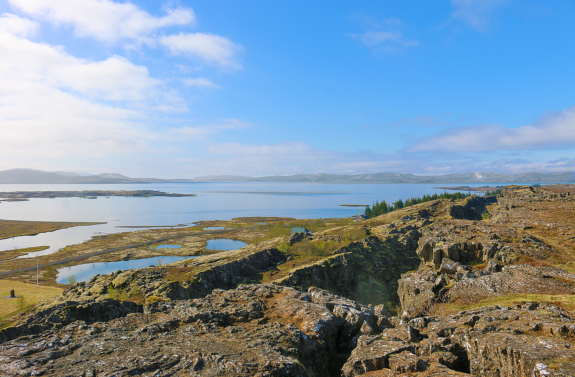
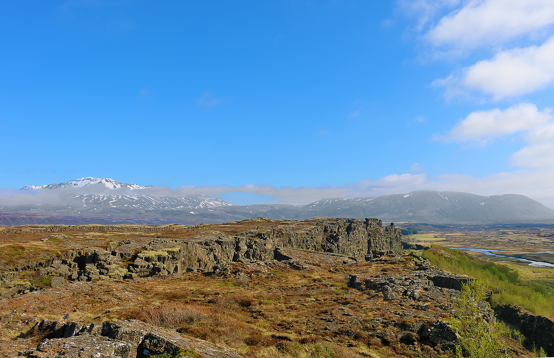
Starting with a view towards the south is Þingvallavatn, which is the second largest lake in Iceland and is partially within Þingvellir National Park itself.
Facing southeast from the viewpoint at Hakið includes the northern part of the lake and some mountains in the distance during what was a pleasantly cool day that was warmed by the sun.
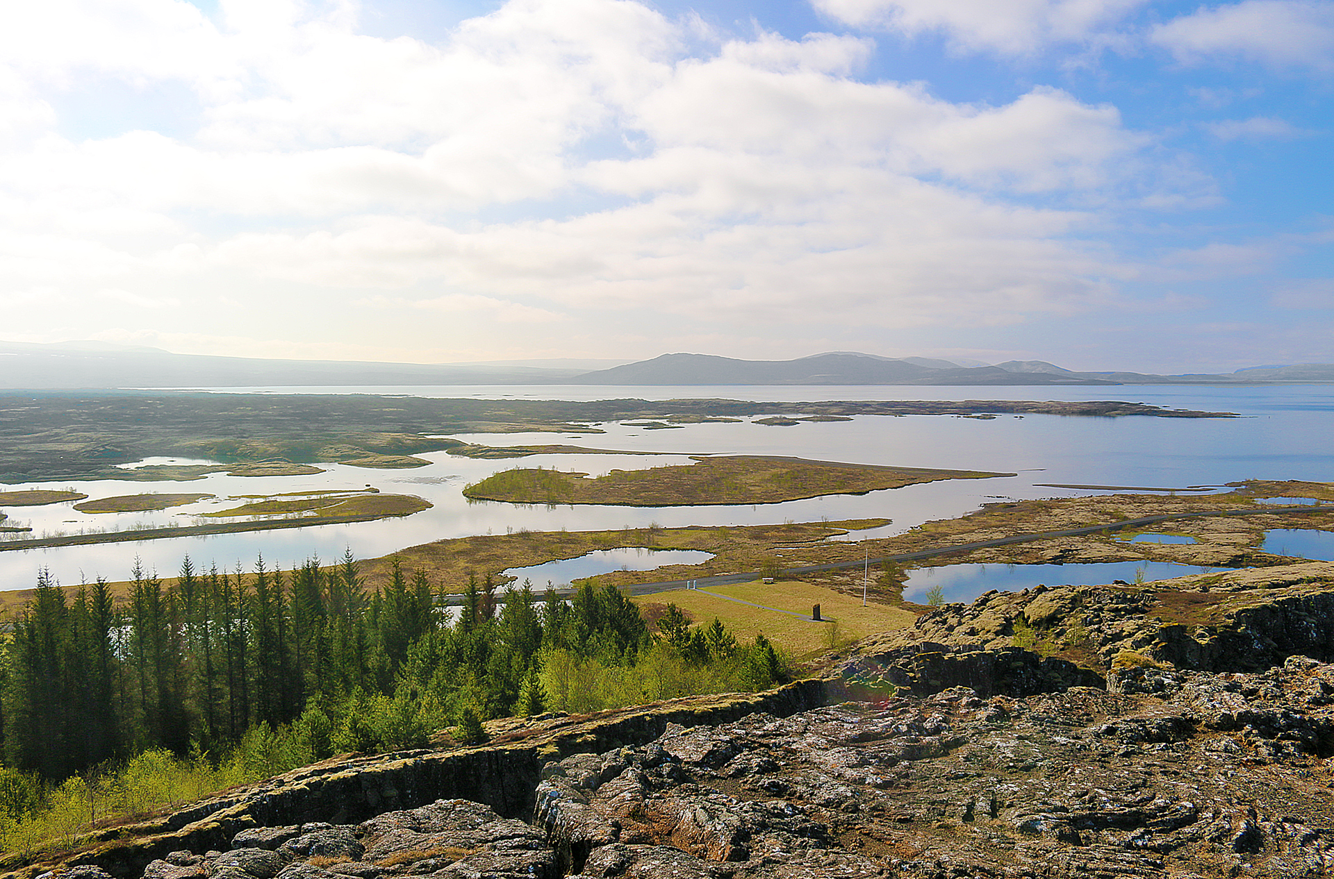
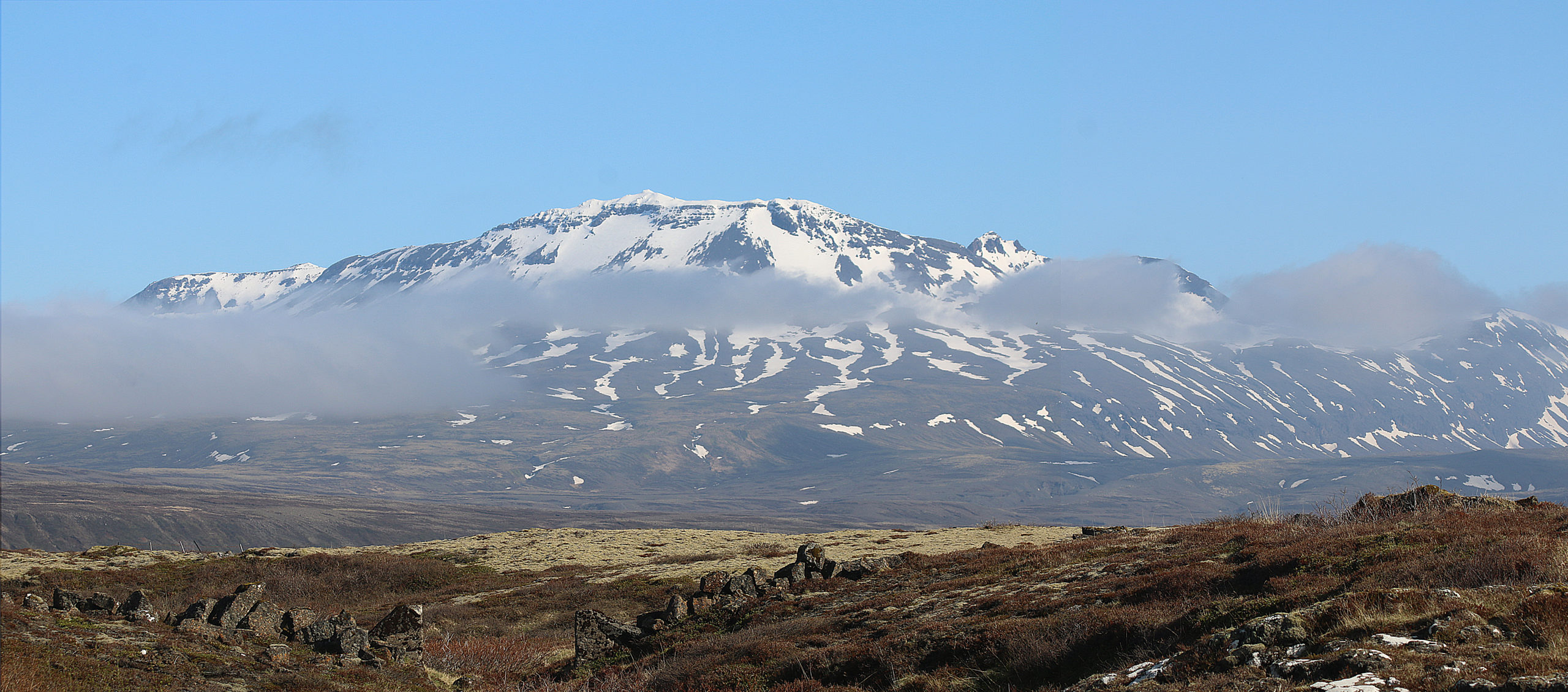
Melting water from Langjökull — which is the second largest glacier in Iceland — becomes ground water and helps to fill Silfra, which is one of the largest and deepest fissures in this area and is located due east of the viewpoint at Hakið. Snorkeling and diving are two of the activities which visitors can experience at Silfra thanks to its clear waters.
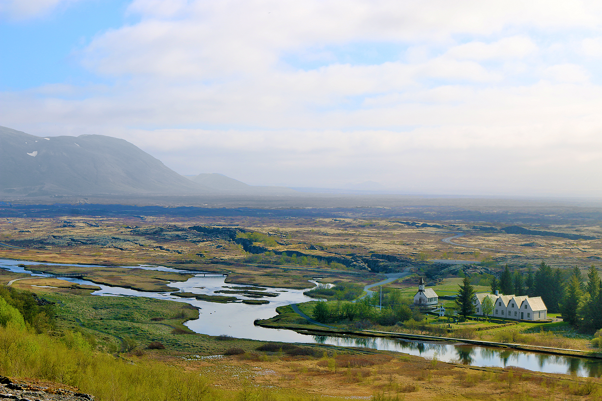
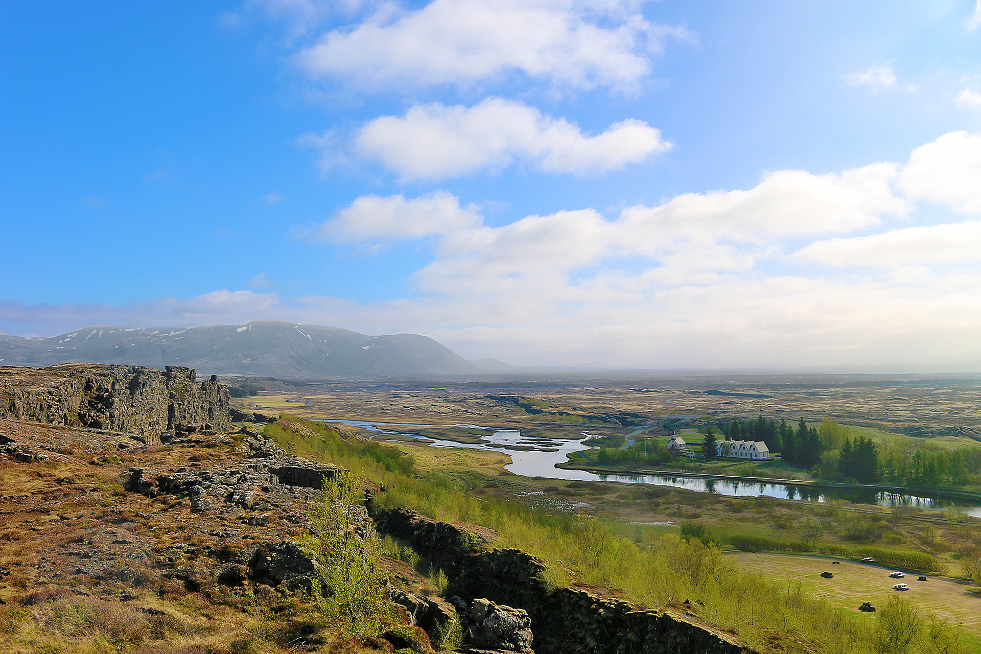
Þingvallakirkja — which is also known as Þingvellir church — is visible towards the lower right of the above photograph in this view towards the northeast. The view includes the site of Lögberg, which translates into Law Rock.
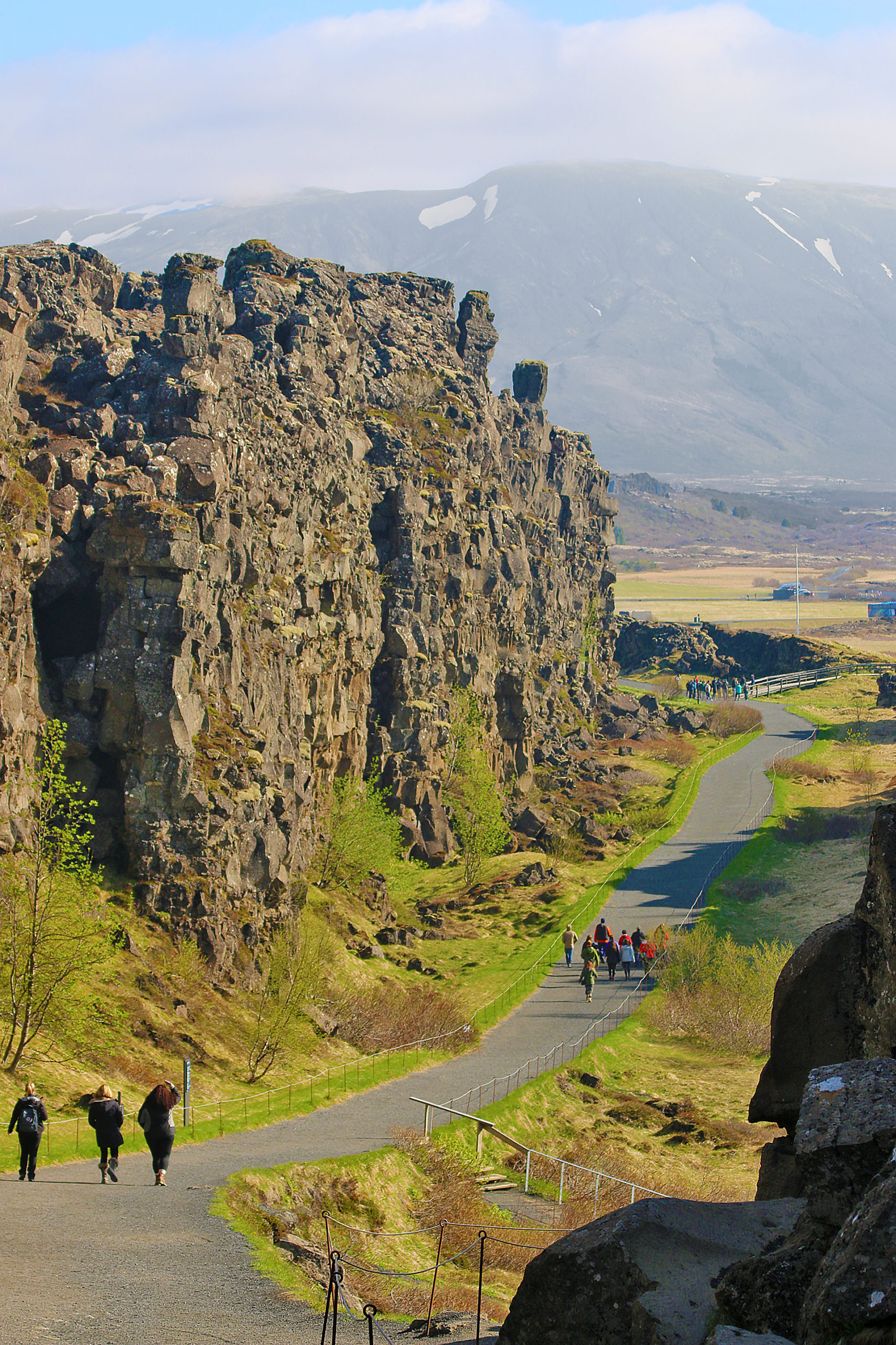
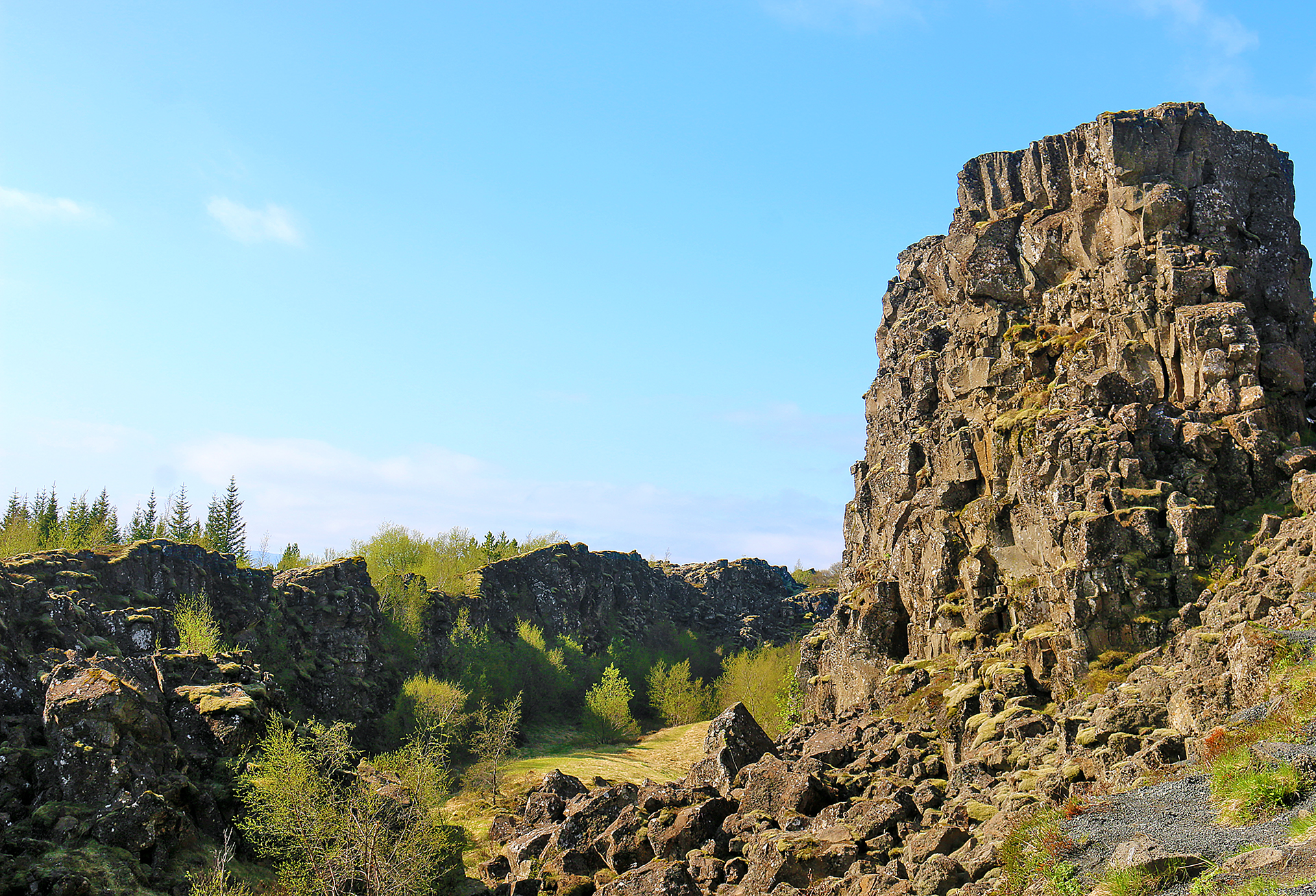
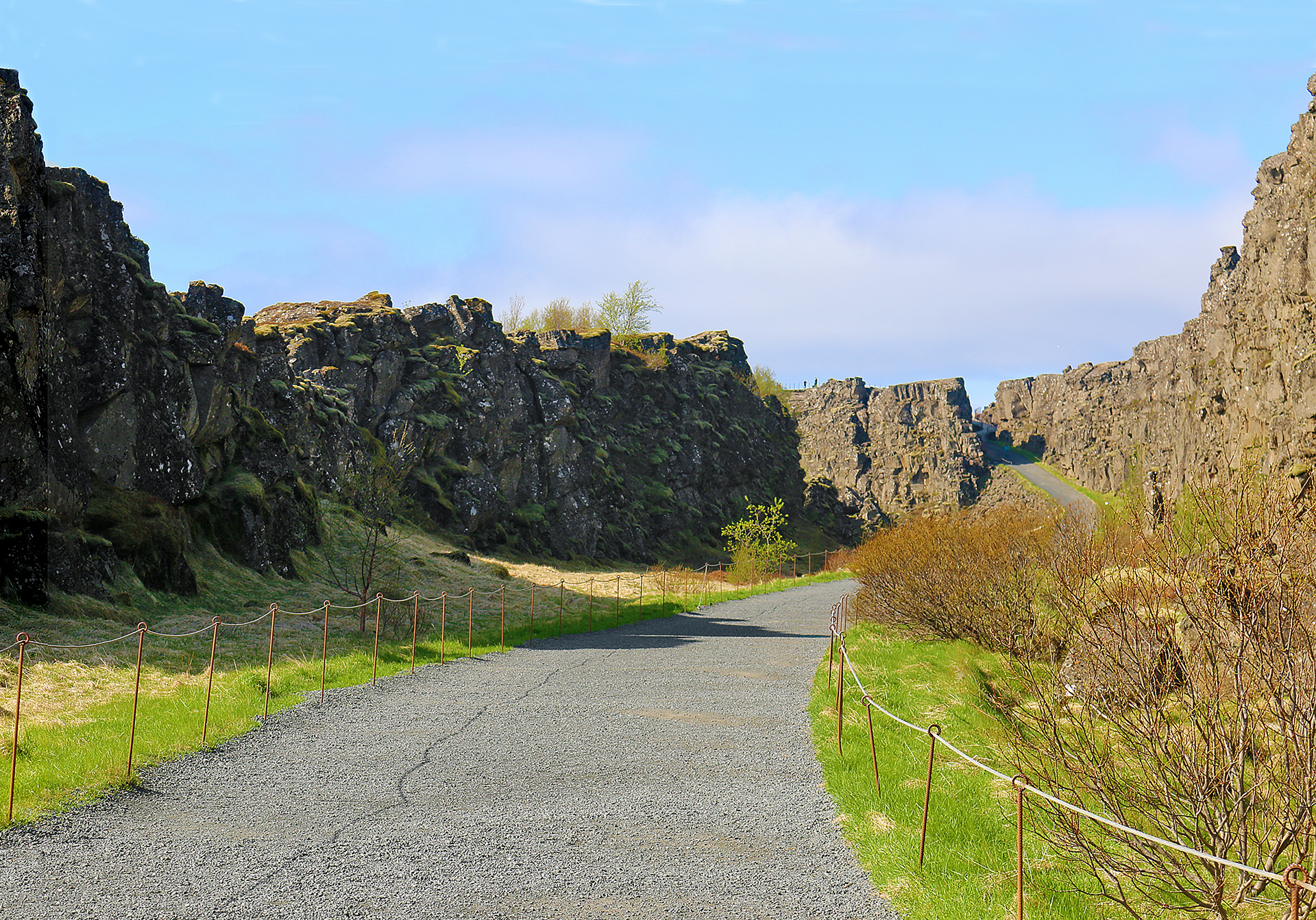
The Almannagjá ravine is the largest of the cracks and faults near Þingvallavatn and is where the tectonic plates of Eurasia and North America meet in this view looking north into Þingvellir National Park. A literal bridge crosses between those continental plates in Miðlína, which is located approximately 20 minutes south by car from Keflavik International Airport.
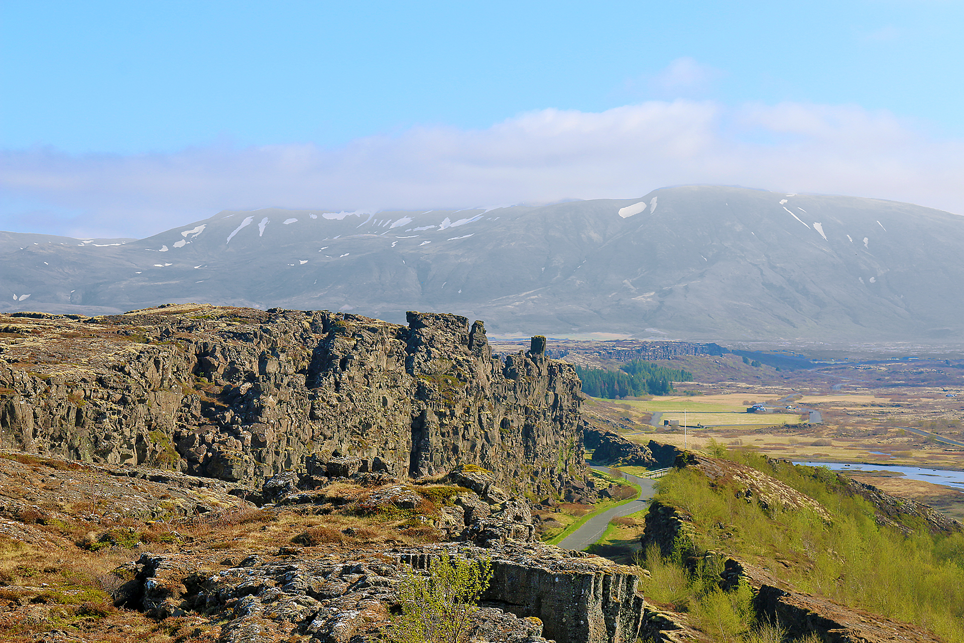
The North American tectonic plate is on the left; and the Eurasian plate is on the right. Þingvellir National Park is one of the few places in the world where one can see the exposed continental drift between the plates of North America and Eurasia.
At an elevation of approximately 1,093 meters or 3,586 feet, the highest peak in Þingvellir National Park is Syðstasúla.
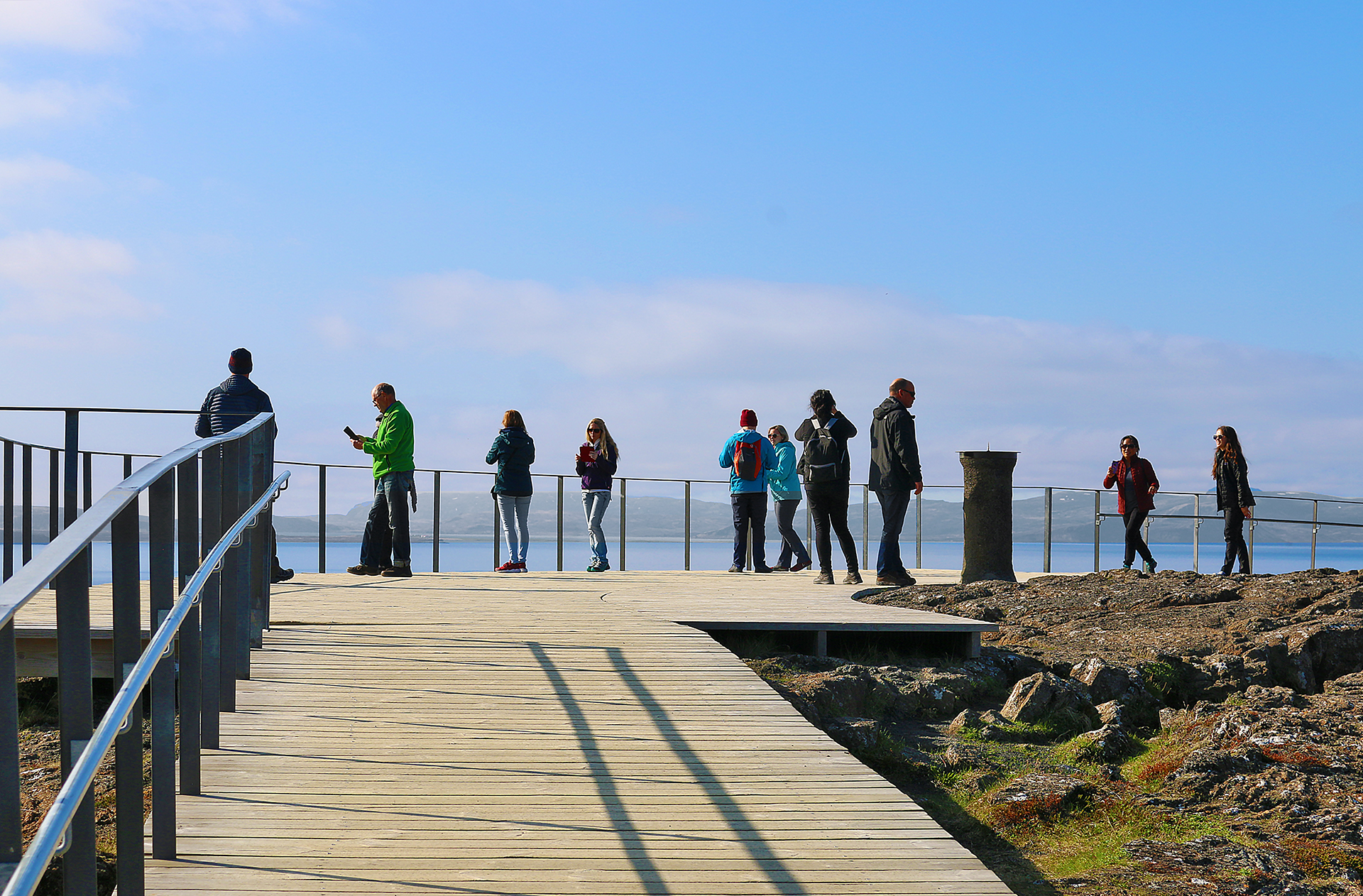
Other visitors enjoy the viewpoint at Hakið…
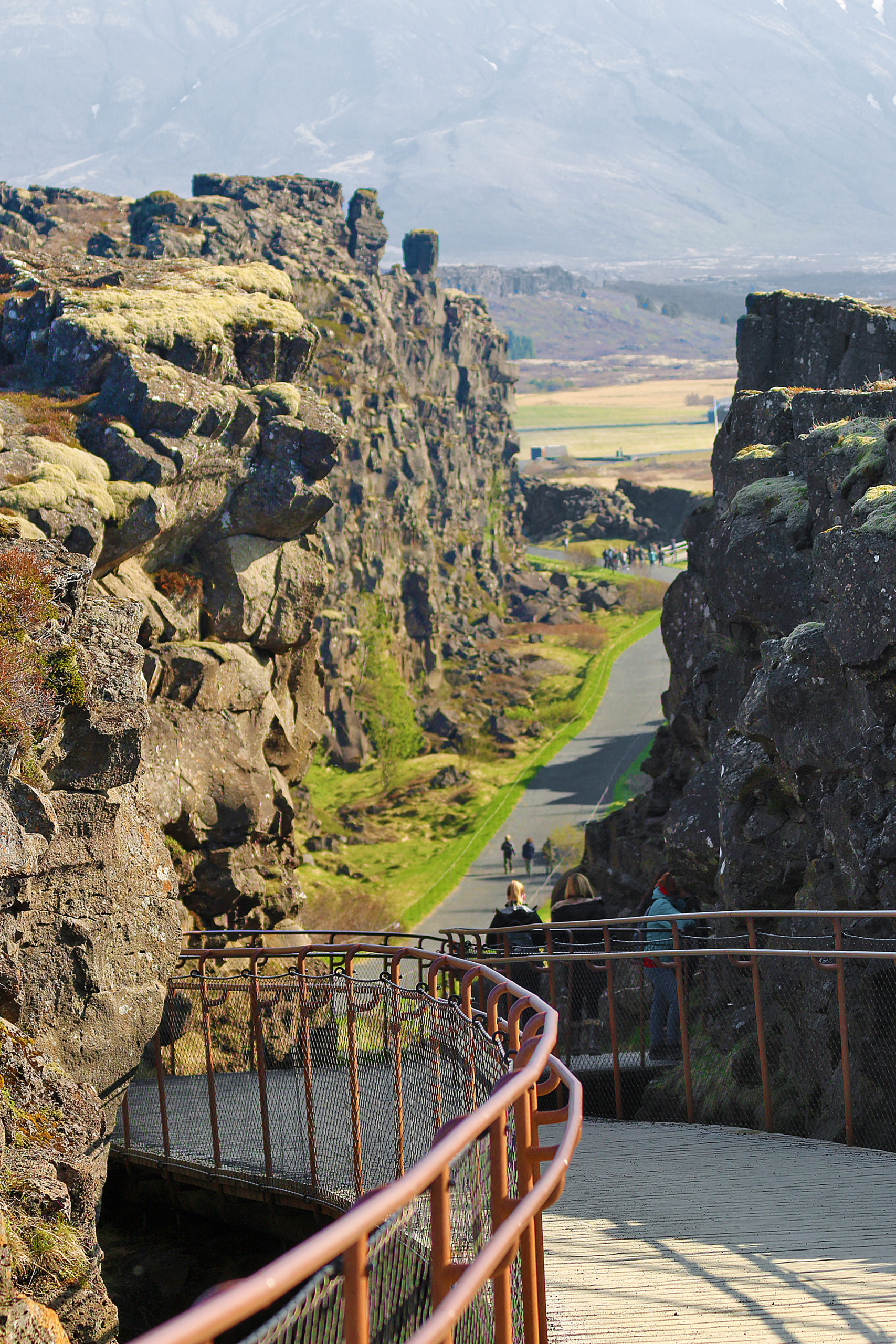
…before taking the boardwalk on the descent down into the Almannagjá rift valley and the two continental tectonic plates of Eurasia and North America.
The viewpoint at Hakið gives visitors an orientation of what they are about to experience prior to descending down into the Almannagjá rift valley and Langistígur, which is also known as The Walk of Death or Execution Trail.
The path heads towards Öxarárfoss, which is a popular waterfall.
Final Boarding Call
The viewpoint at Hakið is located near the visitor centre of Þingvellir National Park off of highway 36 — which is also known as Þingvallavegur — approximately 47 kilometers northeast of the city center of Reykjavík. Driving time is approximately 47 minutes each way.
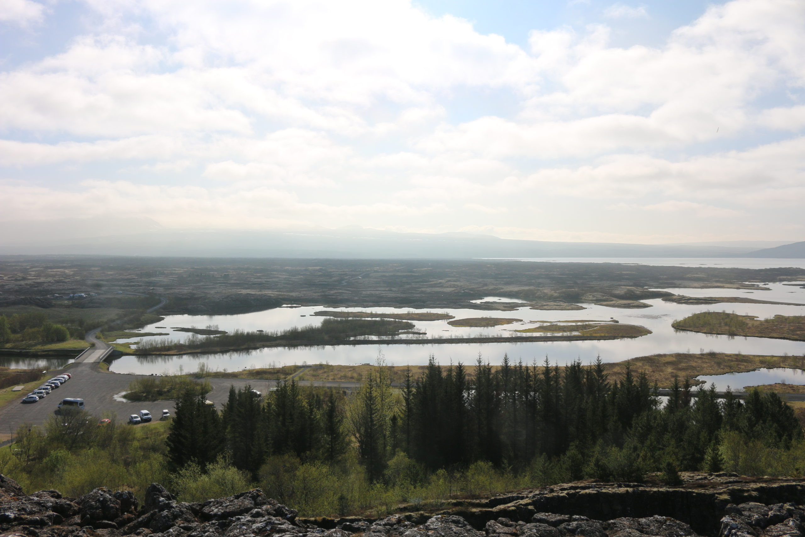
Facilities are located at the visitor center at the main entrance to Þingvellir National Park. You can technically stay as long as you like, as it is technically open 24 hours per day, 365 days per year; but expect large crowds of people during the peak season of the summer months. Give yourself a minimum of 20 minutes to enjoy the scenic natural beauty of the viewpoint at Hakið. The boardwalk is very easy to negotiate for most visitors.

Þingvellir National Park is one of the most popular attractions of Iceland because it is one of the three famous sites of which the Golden Circle is comprised — along with Gullfoss waterfall and the Geyser Geothermal Area, which will be covered in future articles here at The Gate.
Entrance to Þingvellir National Park — of which the viewpoint at Hakið is a part — is actually free of charge; but if you arrive by motor vehicle and park in the following parking lots…
P1 Hakið: By the visitor centre at Hakið next to the viewpoint at the upper end of the Almannagjá rift valley.
P2 Fossplan: At two parking lots near the assembly fields and Öxarárfoss.
P5 Valhöll: To the south of the assembly site.
…then the charge for a daypass on all the parking lots — at which the ticket is valid for the day at all parking lots; and the parking pay machines accept all major credit card and debit cards — is as follows:
- Passenger car, 5 seats or less — 1,000 Icelandic Króna or $7.81 United States Dollars
- Passenger car, 6-9 seats — 1,200 Icelandic Króna or $9.38 United States Dollars
- Bus, 10-19 seats — 2,200 Icelandic Króna or $17.19 United States Dollars
- Bus, 20-32 seats — 3,800 Icelandic Króna or $29.70 United States Dollars
- Bus, 33 seats or more — 4,200 Icelandic Króna or $32.83 United States Dollars
- Motorcycle — 400 Icelandic Króna or $3.12 United States Dollars
Please refer to the Iceland: Itinerary and Master Guide article — which is still a work in progress — for links to other articles at The Gate which pertain to Iceland.
All photographs ©2018 by Brian Cohen.
The rates for parking in 2018 were as follows:
- Passenger car, 5 seats or less — 750 Icelandic Króna or $6.35 United States Dollars
- Passenger car, 6-8 seats — 1,000 Icelandic Króna or $8.47 United States Dollars
- Bus, 9-19 seats — 1,800 Icelandic Króna or $15.25 United States Dollars
- Bus, 20 seats or more — 3,500 Icelandic Króna or $29.65 United States Dollars
